Guánica State Forest, State forest in southwestern Puerto Rico
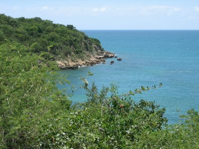
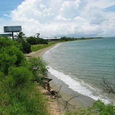
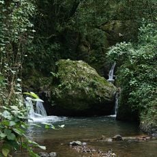
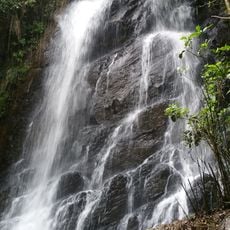
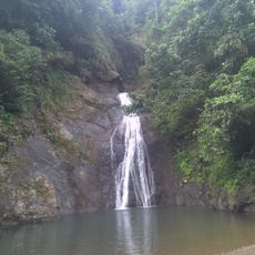
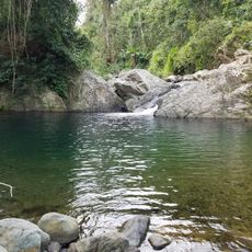
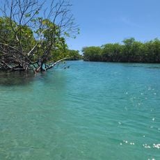
Guánica State Forest is a protected area in southwestern Puerto Rico covering approximately 10,000 acres. The terrain includes sandy beaches, rocky shores, mangrove forests, and coral reefs spread across five municipalities.
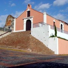
The area became a forest reserve in 1919 and gained United Nations Biosphere Reserve status in 1981. This recognition marked its importance as a place worthy of protection for future generations.
The forest's name comes from the Taíno language, reflecting the indigenous heritage of the island. Walking through the trails, you notice how locals and visitors use this place as a connection to Puerto Rico's natural roots.
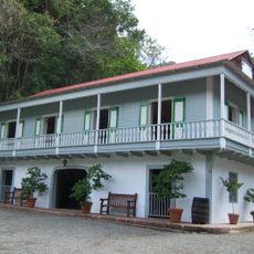
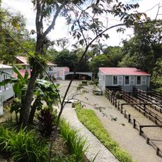
The forest is open daily and free to visit, with parking available near the information center. Stop there first to get trail maps and learn which sections best match your interests and fitness level.
The forest is home to the last wild population of Puerto Rican crested toads found anywhere. A thousand-year-old guaiacwood tree called Guayacán Centenario grows here and remains one of the oldest trees in the Caribbean.
The community of curious travelers
AroundUs brings together thousands of curated places, local tips, and hidden gems, enriched daily by 60,000 contributors worldwide.