Connecticut Lakes, Four connected lakes in northern New Hampshire, US
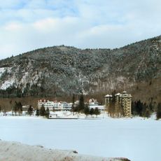
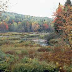
The Connecticut Lakes are a chain of four lakes in northern New Hampshire, arranged from south to north and decreasing in size as they go. The southernmost is the largest, while the northernmost is little more than a small pond tucked close to the Canadian border.
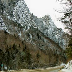
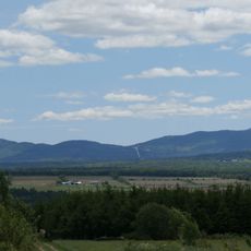
In 2002, the New Hampshire Fish and Game Department launched a conservation project covering a large area around these lakes to protect wildlife habitats. Before that, the land had been used mostly for logging, which is why the forests here still feel so open and unbroken today.
The lakes are numbered from south to north, running from First to Fourth Connecticut Lake, and the Second Lake was once known as Lake Carmel. This way of naming by position along a chain is something visitors notice right away when reading maps or trail signs.
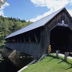
The lakes are reached by following U.S. Route 3 north from Pittsburg village toward the Canadian border, and boat launches are spread around the area. Because the location is remote, it is worth preparing well before heading out, whatever the season.
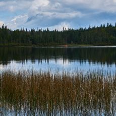
The Fourth Lake, the smallest of the chain and sitting right near the Canadian border, is considered the source of the Connecticut River, which then runs through four states before reaching Long Island Sound. It is hard to believe that such a small body of water marks the start of a river that long.
The community of curious travelers
AroundUs brings together thousands of curated places, local tips, and hidden gems, enriched daily by 60,000 contributors worldwide.