Chest opened
+${chestReward.xp} XP
Explorer
NOUVEAU ×${chestReward.collectible.quantity}
tapez pour fermer
Chest locked

Open chests in the app

Around Us is built for your phone — chests unlock when you walk, explore and capture nearby places.

Enable Location

We need your location to show you interesting places around you

Discover nearby places

Find interesting locations and hidden gems around you

Precise directions

Get accurate directions and distances to places

Your location is never shared with other users. It's only used when you tap the location button.

Log in to your account

Start exploring — it's free

Trusted by 72,996 travelers worldwide

Continue with Google
Continue with Apple
or

We will send you a code to connect

By continuing, you accept our Terms and Conditions and our Privacy Policy

Check your inbox

We've sent a pincode in your inbox. Please enter the code below.

Binghamton, NY Metropolitan Statistical Area
Discussion Reviews Photo
11.4k Popularity

Binghamton, NY Metropolitan Statistical Area, Metropolitan statistical area in Southern Tier, New York State, US.

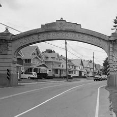
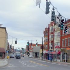
The Binghamton Metropolitan Area is a statistical region spanning Broome and Tioga counties, encompassing communities like Binghamton, Johnson City, and Endicott. The territory is linked by the Southern Tier Expressway and forms a connected network of residential, commercial, and educational districts.

The region held broader significance between the 1960s and 1980s when it temporarily included Susquehanna County in Pennsylvania. This extended period reflected efforts to strengthen regional cooperation and economic ties across state boundaries.

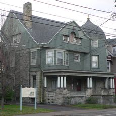
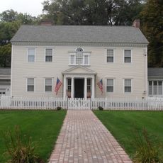
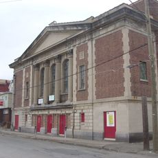
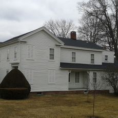
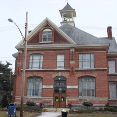
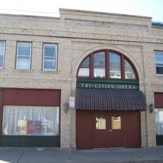
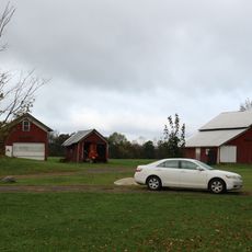
The region developed around manufacturing traditions that shaped how communities value craftsmanship and local enterprise. This heritage remains visible in how residents take pride in their neighborhoods and small businesses.

The area is served by Broome County Transit with bus connections linking residential areas, business districts, and schools. Visitors should plan routes ahead since service frequencies are more limited than in larger cities.

The territory comprises 19 independent municipalities that share resources and infrastructure despite maintaining separate local governments. This decentralized structure allows each town to preserve its own identity while remaining economically connected.

The community of curious travelers

AroundUs brings together thousands of curated places, local tips, and hidden gems, enriched daily by 60,000 contributors worldwide.

Start exploring
Location
GPS coordinates
42.23530,-75.99277
Latest update
March 5, 2026 16:38
Around this place
Chenango Valley State Park
United States of America

Chenango Valley State Park

13.6 km
Cyrus Gates Farmstead
United States of America

Cyrus Gates Farmstead

4 km
Endicott Square Deal Arch
United States of America

Endicott Square Deal Arch

14.3 km
Harlow E. Bundy House
United States of America

Harlow E. Bundy House

15.8 km
Highland Park Carousel
United States of America

Highland Park Carousel

12.6 km
George W. Johnson Park Carousel
United States of America

George W. Johnson Park Carousel

14.6 km
C. Fred Johnson Park Carousel
United States of America

C. Fred Johnson Park Carousel

13.6 km
Your Home Library
United States of America

Your Home Library

14.1 km
Chenango Canal Prism and Lock 107
United States of America

Chenango Canal Prism and Lock 107

12.6 km
Washingtonian Hall
United States of America

Washingtonian Hall

13.9 km
Johnson City Historic District
United States of America

Johnson City Historic District

13.9 km
Goodwill Theatre
United States of America

Goodwill Theatre

13.9 km
Bement-Billings House
United States of America

Bement-Billings House

15.4 km
Grace Episcopal Church
United States of America

Grace Episcopal Church

10.6 km
Bevier-Wright House
United States of America

Bevier-Wright House

13.6 km
Binghamton Railway Company Complex
United States of America

Binghamton Railway Company Complex

15.9 km
Morris Clinton House
United States of America

Morris Clinton House

15.7 km
Saints Cyril and Methodius Slovak Roman Catholic School
United States of America

Saints Cyril and Methodius Slovak Roman Catholic School

15.5 km
Maine Central School
United States of America

Maine Central School

7.5 km
Newark Valley Municipal Building and Tappan-Spaulding Memorial Library
United States of America

Newark Valley Municipal Building and Tappan-Spaulding Memorial Library

15.8 km
Lithuanian National Association Hall
United States of America

Lithuanian National Association Hall

14.7 km
Farrand-Pierson House
United States of America

Farrand-Pierson House

15.4 km
Lipe Farm
United States of America

Lipe Farm

14.8 km
Daniel Chamberlain House
United States of America

Daniel Chamberlain House

15.5 km
Sutton-Chapman-Howland House
United States of America

Sutton-Chapman-Howland House

15.5 km
The Bundy Museum of History and Art
United States of America

The Bundy Museum of History and Art

15.8 km
Sonic
United States of America

Sonic

12.4 km
John Settle Farm
United States of America

John Settle Farm

11.6 km
Show the full map
Reviews
Share your experience

No review yet

Discussions
Start a discussion...

No discussion yet

« Binghamton, NY Metropolitan Statistical Area - Metropolitan statistical area in Southern Tier, New York State, US » is provided by Around Us (aroundus.com). Images and texts are derived from Wikimedia project under a Creative Commons license. You are allowed to copy, distribute, and modify copies of this page, under the conditions set by the license, as long as this note is clearly visible.

Discover hidden gems everywhere you go!

From secret cafés to breathtaking viewpoints, skip the crowded tourist spots and find places that match your style. Our app makes it easy with voice search, smart filtering, route optimization, and insider tips from travelers worldwide. Download now for the complete mobile experience.

Around Us App Screenshot

A unique approach to discovering new places

Le Figaro

All the places worth exploring

France Info

A tailor-made excursion in just a few clicks

20 Minutes

Around Us
Travel Guide & Maps
Download

Send to your phone

QR Code
1

Open the camera app on your mobile.

2

Point at the QR code with your camera. A notification will appear.

3

Tap the notification to open the link.