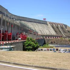
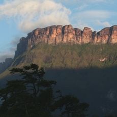
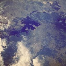
Gran Sabana, Vegetational formation in southeastern Venezuela
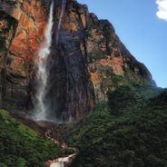
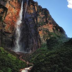
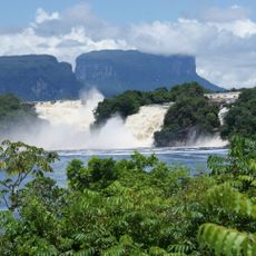
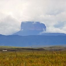
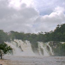
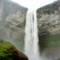
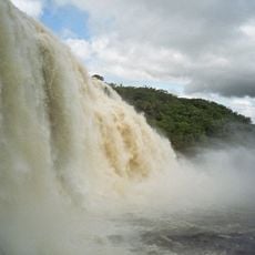
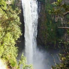
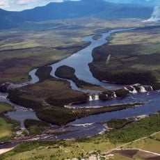
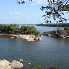
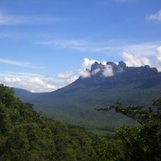
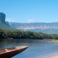
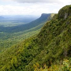
Gran Sabana is a large high plateau in southeastern Venezuela within Canaima National Park, where flat grasslands alternate with isolated table mountains. The area includes several rivers that tumble over rock ledges, as well as open savannas crossed by gallery forests along the watercourses.
European explorers reached this region in the 16th century while searching for the mythical El Dorado and left the first written records of the landscape. Scientific expeditions in the 19th and 20th centuries mapped the area and documented its geology and biodiversity.
The Pemon live here in small villages and speak their own language, while guiding visitors and selling local crafts. Many place names in the region come from the Pemon language and refer to natural features such as mountains or waterfalls.
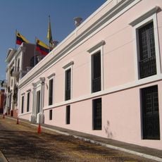
Santa Elena de Uairén is the main starting point for visits and offers accommodations as well as opportunities to hire local guides. The best time to visit is during the dry season from December to April, when unpaved roads are easier to travel.
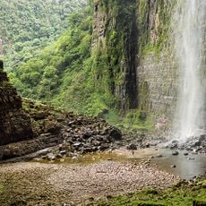
The rivers here have a dark brown color because organic matter from vegetation enters the water. Despite this color, the water is usually clean and visibility below the surface can be surprisingly clear.
The community of curious travelers
AroundUs brings together thousands of curated places, local tips, and hidden gems, enriched daily by 60,000 contributors worldwide.