Khánh An, commune in U Minh district, Ca Mau province, Vietnam
Location: U Minh
Elevation above the sea: 5 m
GPS coordinates: 9.41667,105.08333
Latest update: April 21, 2025 21:16

Mỹ Thuận Bridge
131.9 km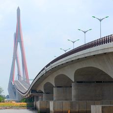
Cần Thơ Bridge
104.7 km
Vàm Cống bridge
110.3 km
Tram Chim National Park
153.2 km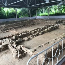
Óc Eo
91.3 km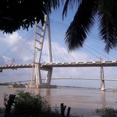
My Thuan 2 Bridge
131.6 km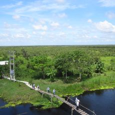
U Minh Thuong National Park
18.6 km
Cao Lanh Bridge
127.2 km
Gò Tháp
154 km
Lower U Minh National Park
23.8 km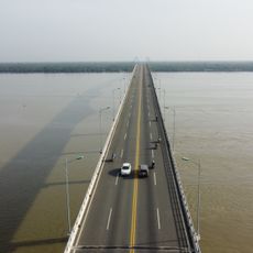
Cổ Chiên Bridge
150 km
Quyt Hong Lai Vung
111.8 km
My Khanh Tourist Village
93.5 km
Mũi Cà Mau National Park
88.6 km
Novotel Phu Quoc Resort
144.6 km
Tân Thành
109 km
Kep National Park
147.4 km
Vinh Hung tower
54.4 km
To Chau Bridge
125.4 km
Cai Rang Bridge
98.3 km
Cần Thơ Cathedral
102.7 km
Queen of Peace Cathedral, Long Xuyên
114.3 km
Công viên nước Aquatopia
131.6 km
Can Tho Museum
103.4 km
Phnom Sorsia
158.9 km
Hoi Phuoc temple
108.8 km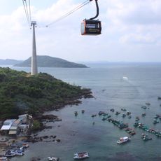
Hòn Thơm cable car
136.2 km
Công viên nước Thanh Long
120.4 kmReviews
Visited this place? Tap the stars to rate it and share your experience / photos with the community! Try now! You can cancel it anytime.
Discover hidden gems everywhere you go!
From secret cafés to breathtaking viewpoints, skip the crowded tourist spots and find places that match your style. Our app makes it easy with voice search, smart filtering, route optimization, and insider tips from travelers worldwide. Download now for the complete mobile experience.

A unique approach to discovering new places❞
— Le Figaro
All the places worth exploring❞
— France Info
A tailor-made excursion in just a few clicks❞
— 20 Minutes