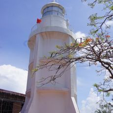
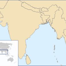
Mũi Cà Mau National Park, National park at southernmost point of Vietnam
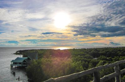
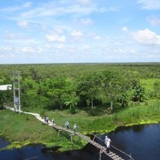
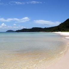
Mũi Cà Mau National Park is a protected reserve at Vietnam's southernmost tip, combining mangrove forests with vast mudflat areas shaped by tidal movements. The landscape continuously transforms as water and sediment reshape the shoreline with each tidal cycle.
The wetlands here shrank significantly during the Vietnam War, but recovery began in the 1990s through conservation efforts. The site transformed into a protected area as awareness of its ecological importance grew.
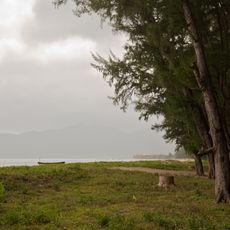
The mangroves here shape how fishing communities work and move through the landscape, with boats navigating channels between the trees. This connection between water, forest, and livelihood is visible in how people use the waterways daily.
Access is easiest from Cà Mau city, where boat tours can be arranged to explore the mangrove channels and mudflats. Visit during drier months when pathways are more accessible and wildlife viewing is more rewarding.
Two different tidal systems meet here, creating ever-shifting mudflat patterns that appear nowhere else in Vietnam. This collision of waters produces landscapes that are continuously redrawn by natural forces.
The community of curious travelers
AroundUs brings together thousands of curated places, local tips, and hidden gems, enriched daily by 60,000 contributors worldwide.