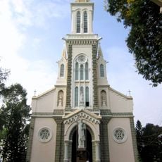
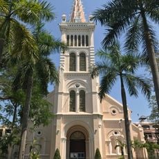
Châu Thành, Rural district in Mekong Delta, Vietnam
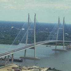
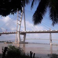
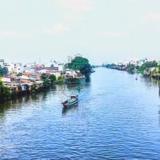
Châu Thành is a rural district in the Mekong Delta covering approximately 229 square kilometers. The Hàm Luông River forms its southern border while the Tiên River marks the northern edge of the land.
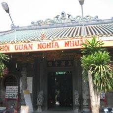
This district developed over centuries through settlement patterns shaped by agriculture and river transport. These patterns reflect how the Mekong Delta took form through constant human adaptation.
The people here follow ways of life rooted in coconut farming and river commerce that shape daily routines. These practices remain visible in how the community moves and works across the waterways.
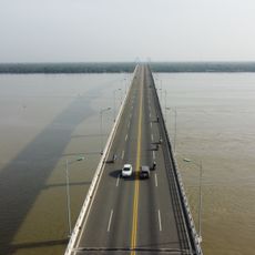
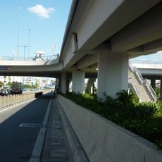
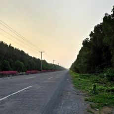
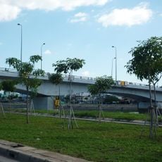
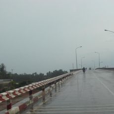
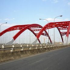
Travel here relies on a network of waterways and roads that connect all parts of the district. Local transport options are designed to work with this water-based geography.
The land sits just 4 meters above sea level with an intricate network of canals woven throughout. These waterways are essential to both farming and local commerce, shaping how the entire area functions.
The community of curious travelers
AroundUs brings together thousands of curated places, local tips, and hidden gems, enriched daily by 60,000 contributors worldwide.