Hai Van Pass, Mountain pass between Da Nang and Hue, Vietnam
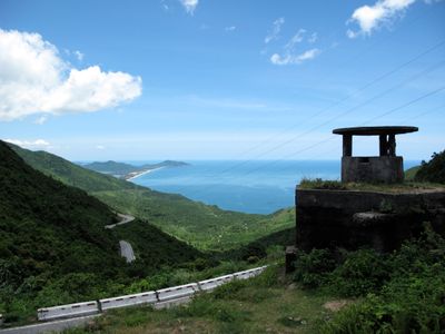
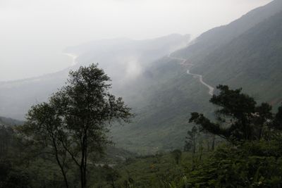
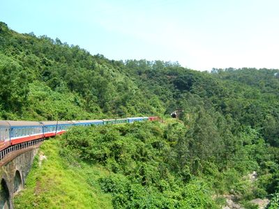
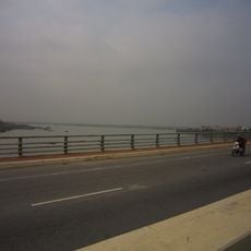
Hai Van Pass is a mountain pass between Da Nang and Hue, with a winding road spanning roughly 21 kilometers and reaching a maximum elevation of 496 meters above the South China Sea. The route features several viewpoints along the way that overlook the coastline and surrounding mountain landscape.
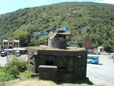
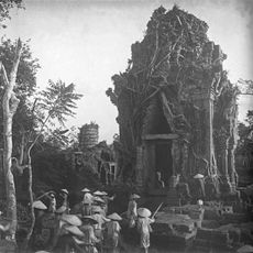
The pass served as the boundary between the kingdoms of Champa and Dai Viet from 1306 to 1471, functioning as a strategic military position during that era. This prolonged division shaped the region and its role in Vietnamese history.
The name Hai Van means Ocean Cloud in Vietnamese, inspired by the mists that rise from the sea and gather on the mountainside. Visitors often notice this natural phenomenon most clearly in early mornings when the fog is thickest.
Since 2005, most vehicle traffic has been redirected through a tunnel beneath the pass, leaving the mountain road primarily for tourists and motorcycle riders. Weather conditions in this area can change rapidly, so it is wise to check conditions before making the journey.
The northern and southern sides of the pass experience distinctly different weather patterns, with the north receiving cold winter conditions while the south maintains warmer temperatures year-round. This weather contrast becomes immediately noticeable when crossing from one side to the other.
The community of curious travelers
AroundUs brings together thousands of curated places, local tips, and hidden gems, enriched daily by 60,000 contributors worldwide.