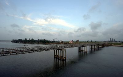
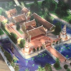
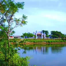
Ben Hai River, Dividing river in central Vietnam.
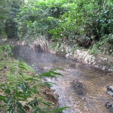
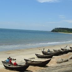
The Ben Hai River is a waterway in central Vietnam that flows from the Annamite Mountains near the Laos border to the South China Sea at Cua Tung. It runs for roughly 100 kilometers before reaching the coast.
From 1954 to 1976, the Ben Hai River marked the boundary between North and South Vietnam following the Geneva Accords that divided the nation. The river's role as a dividing line ended when the country was reunified.
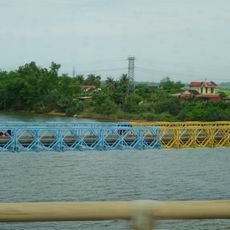
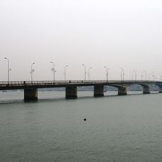
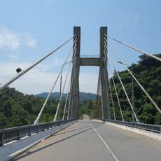
The Hien Luong Bridge spanning the river displays two colors: the northern half painted red and the southern half yellow, symbolizing the two nations that once faced each other across this crossing.
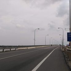
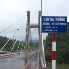
The river can be reached by traveling north from Dong Ha city along Highway 1, where several historical sites are located nearby. The area is easily accessible with several vantage points along the banks.
A demilitarized zone extended five kilometers on each side of the river, creating a heavily guarded buffer area between the divided regions. This zone was one of the most fortified boundaries in the world during that era.
The community of curious travelers
AroundUs brings together thousands of curated places, local tips, and hidden gems, enriched daily by 60,000 contributors worldwide.