Bagmati Zone, former administrative zone of Nepal
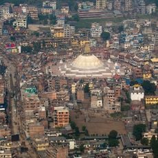
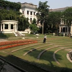
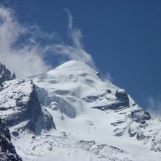
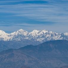
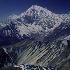
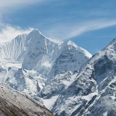
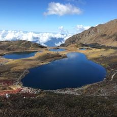
Bagmati Zone was an administrative area in central Nepal, named after the river flowing through the region. The area included the Kathmandu Valley with diverse landscapes ranging from Himalayan peaks in the north to hill regions in the south and warmer valleys at lower elevations.
The area was an administrative district from 1972 to 2015 and served as Nepal's political and cultural center, especially during the Panchayat era. In 2015 the zone was abolished and integrated into Bagmati Province as Nepal reformed its administrative structure.
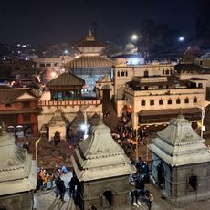
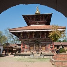
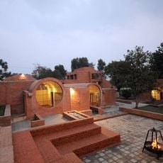
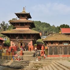
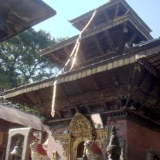
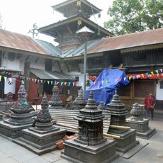
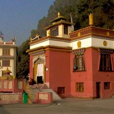
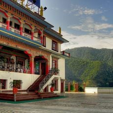
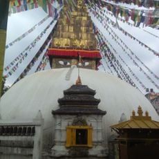
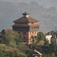
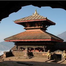
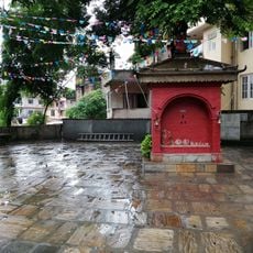
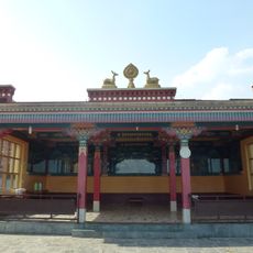
The region was historically the center of Newari culture, reflected in the narrow lanes and crafts traditions of the valleys. Today visitors can watch local artisans make wood carvings and pottery in markets, while prayers and offerings happen daily in temples.
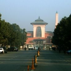
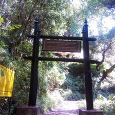
The former area is easy to travel today with many buses, taxis, and walking paths between major sites like Kathmandu Durbar Square and Pashupatinath Temple. Comfortable shoes are recommended since many areas have uneven stones and steep passages, especially in the older parts of cities.
The Bagmati River, which gave the region its name, originates in the Shivapuri Hills and was the lifeline for irrigation and daily life for thousands of years. Today it is heavily polluted in urban areas, showing its lost potential and motivating local efforts to clean the sacred waters.
The community of curious travelers
AroundUs brings together thousands of curated places, local tips, and hidden gems, enriched daily by 60,000 contributors worldwide.