
Kosi Zone, former administrative zone of Nepal
Location: Eastern Development Region
Capital city: Dharan
GPS coordinates: 27.16667,87.41667
Latest update: March 6, 2025 16:46
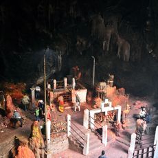
Maratika Cave
78.7 km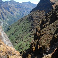
Makalu Barun National Park
68.3 km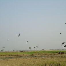
Koshi Tappu Wildlife Reserve
70.8 km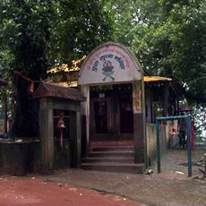
Budhasubba
40.3 km
Varsey Rhododendron Sanctuary
69.5 km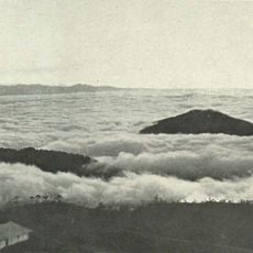
Falut
59.5 km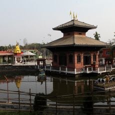
Arjundhara Dham
77.1 km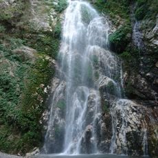
Namaste Falls
34 km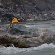
Khuwalung
38.1 km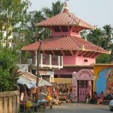
Dantakali Temple
40.7 km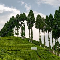
Gopaldhara Tea Estate
78.7 km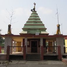
Bhagwati Temple
52.7 km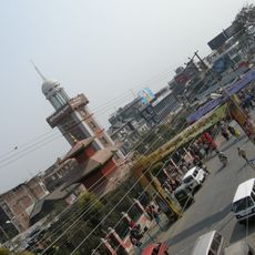
Dharan clock tower
41.6 km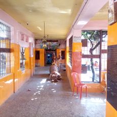
Pindeshwor Temple
41.2 km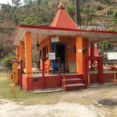
Bishnupaduka, Dharan
41.7 km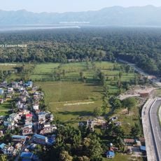
Char-koshey-jhaadi
48.9 km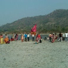
Chataradham
43.1 km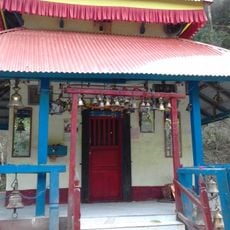
Manakamana Temple
29.6 km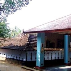
Pananchery Mudikkode Shiva Temple
41.6 km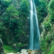
Todke waterfall
53.9 km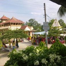
Kotihome
73.1 km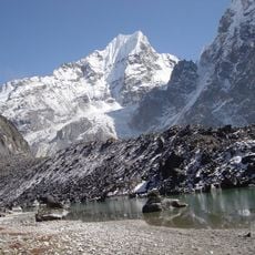
Yamatari Glacier
78.9 km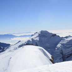
Naulekh
77.1 km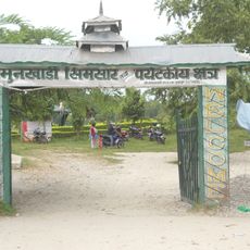
Jamunkhadi Simsar
72.2 km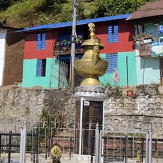
Taksar Bazar टक्सार बजार
36.2 km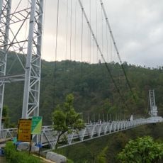
Singshore Bridge
69.7 km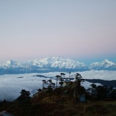
Sandakphu–Phalut Trek
64.6 km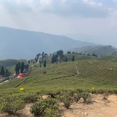
Tea garden view hand
57.7 kmReviews
Visited this place? Tap the stars to rate it and share your experience / photos with the community! Try now! You can cancel it anytime.
Discover hidden gems everywhere you go!
From secret cafés to breathtaking viewpoints, skip the crowded tourist spots and find places that match your style. Our app makes it easy with voice search, smart filtering, route optimization, and insider tips from travelers worldwide. Download now for the complete mobile experience.

A unique approach to discovering new places❞
— Le Figaro
All the places worth exploring❞
— France Info
A tailor-made excursion in just a few clicks❞
— 20 Minutes