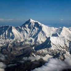
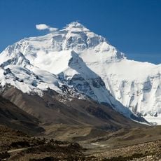
Makalu Barun National Park, National park in Solukhumbu and Sankhuwasabha districts, Nepal.
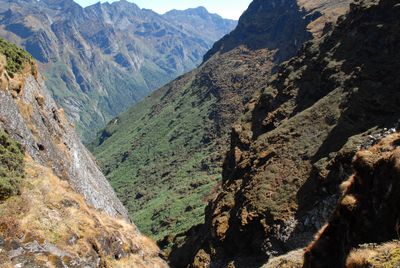
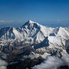
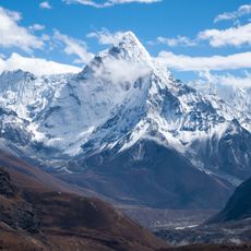
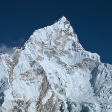
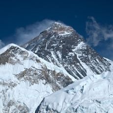
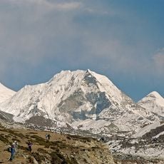
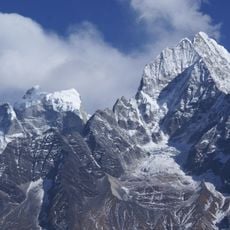
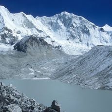
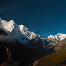
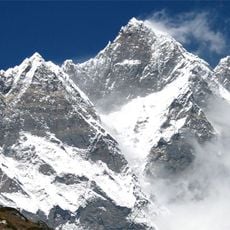
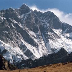
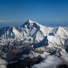
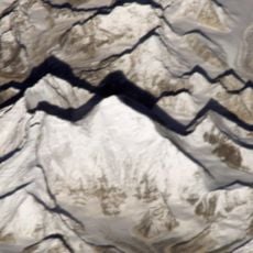
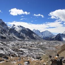
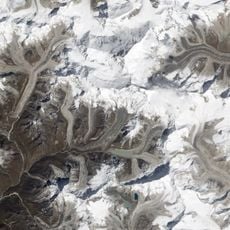
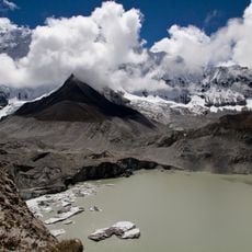
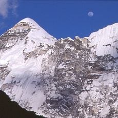
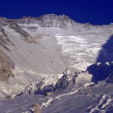
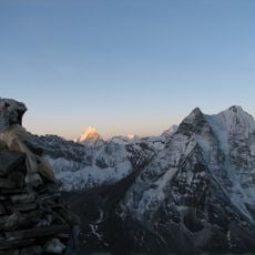
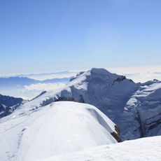
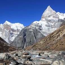
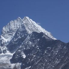
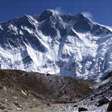
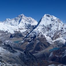
Makalu Barun National Park is a large protected area in the eastern Himalayas that encompasses valleys, rivers, and snow-covered peaks. The terrain ranges from deep river valleys with forests to high alpine zones and sits between 1,000 and 8,485 meters in elevation.
The park was established in 1992 to protect the mountain region surrounding Makalu, one of the world's highest peaks. Its creation followed the model of the nearby Sagarmatha National Park and extended conservation efforts in this part of the Himalayas.
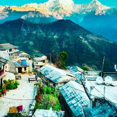
Sherpa communities live in small villages throughout the park and use local trails and resources that have been passed down for centuries. Visitors can observe their daily life, traditional homes, and the way they move through the landscape.
Visitors need permits and should hire experienced mountain guides to explore the area safely, especially at higher elevations. The best seasons for trekking are the dry months when weather conditions are more stable.
The park is known for its extreme elevation change of more than 7,000 meters, which connects tropical forests directly to alpine snow zones. This vertical diversity creates distinct living spaces within a relatively compact area.
The community of curious travelers
AroundUs brings together thousands of curated places, local tips, and hidden gems, enriched daily by 60,000 contributors worldwide.