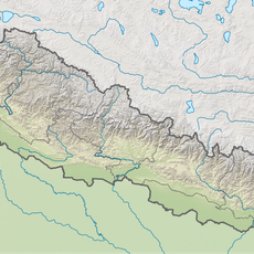
Jumla District, Administrative district in Karnali Province, Nepal
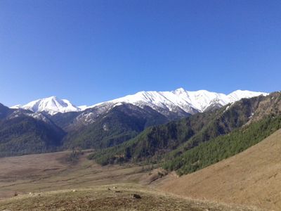
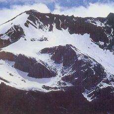
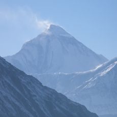
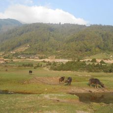
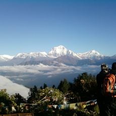
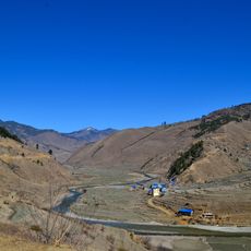
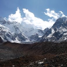
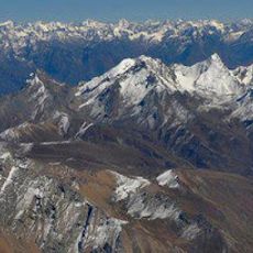
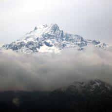
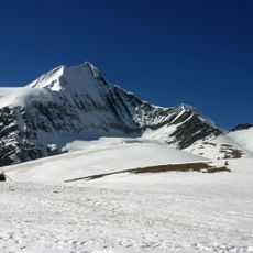
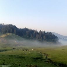
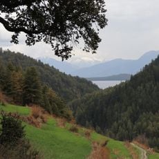
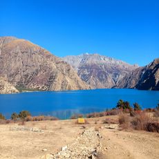
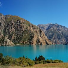
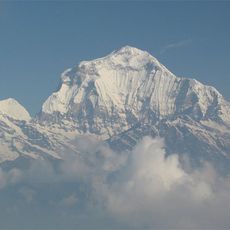
Jumla District is an administrative region in Karnali Province with expansive mountainous terrain and significant elevation changes. The land rises from lower valleys to high ridges, creating a layered landscape with diverse vegetation zones at different heights.
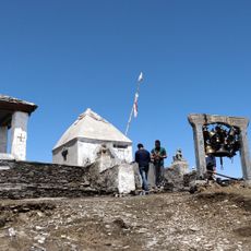
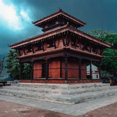
The area was part of the Khasa Kingdom between the 11th and 13th centuries before becoming an independent kingdom in 1404 under Baliraja. This founding moment established the region as a distinct political entity that lasted for centuries.
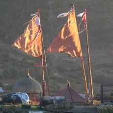
Local languages like Jumli Khas remain part of everyday conversation alongside Nepali, reflecting the area's linguistic heritage. Different ethnic communities here have developed their own ways of life adapted to mountain living.
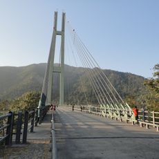
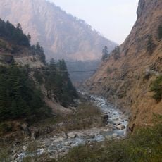
Getting here involves traveling mountain routes that can be challenging depending on the season and weather patterns. Visitors should prepare for changing conditions across different elevations and check local travel advisories before planning a visit.
A rare variety of rice grows here at high elevations, a farming practice that locals have maintained for many centuries. This agricultural tradition shows how farmers have adapted their crops to survive in steep mountain conditions.
The community of curious travelers
AroundUs brings together thousands of curated places, local tips, and hidden gems, enriched daily by 60,000 contributors worldwide.