Sarangkot, Hill viewpoint in Pokhara, Nepal
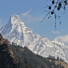
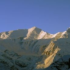
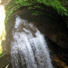
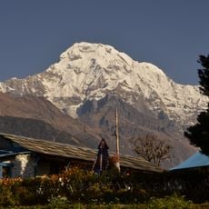
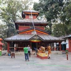
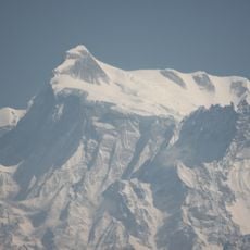
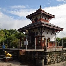
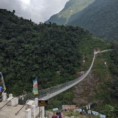
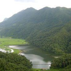
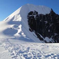
Sarangkot is a hill settlement at about 1,600 meters (5,250 feet) altitude near Pokhara, offering views toward the Annapurna, Dhaulagiri, and Manaslu mountain ranges along with Phewa Lake below. The area consists of homes, pathways, and small shops scattered across the elevated terrain.
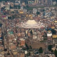
The settlement functioned as an independent village until 2015, when it became incorporated as Ward 18 of Pokhara city. This administrative change brought improved access routes and increased tourism activities to the area.
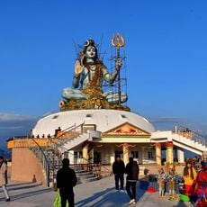
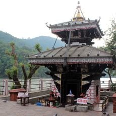
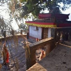
The settlement reflects Nepal's rich religious and linguistic variety, where people from different communities live alongside each other and maintain their distinct traditions. Walking through the area, you encounter evidence of this coexistence in daily life and local celebrations.
The walk up from the Pokhara Baglung highway takes roughly 90 minutes on clearly marked mountain trails, though these paths can become muddy after rain. Bring sturdy shoes and enough water, especially if visiting during warm hours.
The place has become known as a paragliding launch site, where flyers take off and drift across the landscape below Pokhara. This sport has put the village on the map for adventure enthusiasts worldwide.
Location: Kaski District
Location: Pokhara
GPS coordinates: 28.24167,83.96667
Latest update: December 6, 2025 17:43
Nepal offers photographers an exceptional range of subjects, from the highest mountains on Earth to centuries-old religious sites. The Himalayan range dominates the northern regions, where trekkers head to Everest Base Camp and Annapurna Base Camp. At middle elevations, traditional mountain villages...
Annapurna
42 km
Machhapuchhre
28.6 km
Shiva Temple
8.5 km
Annapurna III
38.3 km
Bindhyabasini Temple
1.8 km
Davis Falls
5.8 km
Annapurna II
36 km
Tal Barahi Temple
4 km
Gupteshwor Mahadev Cave
5.9 km
Mahendra Cave
3.5 km
Annapurna South
34.6 km
Kalika Bhagawati Temple
34.7 km
Annapurna IV
34.8 km
International Mountain Museum
6 km
Bat Cave
3 km
Bhadrakali Temple
5.1 km
Annapurna I East
43.2 km
Annapurna I Middle
42 km
Gangapurna
40.5 km
Milarepa Cave, Gandaki
44.6 km
Keladighat Bridge
41.3 km
Kumari Cave
4 km
Jhinu Danda suspension bridge
23.2 km
Chandikalika Temple
20.5 km
BIG SPLASH
6.7 km
Rupa Lake
17.4 km
Tintale
40.1 km
Tharpu Chuli
36.5 kmVisited this place? Tap the stars to rate it and share your experience / photos with the community! Try now! You can cancel it anytime.
Discover hidden gems everywhere you go!
From secret cafés to breathtaking viewpoints, skip the crowded tourist spots and find places that match your style. Our app makes it easy with voice search, smart filtering, route optimization, and insider tips from travelers worldwide. Download now for the complete mobile experience.
A unique approach to discovering new places❞
— Le Figaro
All the places worth exploring❞
— France Info
A tailor-made excursion in just a few clicks❞
— 20 Minutes