Abbottabad Tehsil, tehsil in Hazara, Pakistan
Location: Abbottabad District
Elevation above the sea: 1,207 m
GPS coordinates: 34.15583,73.21944
Latest update: March 21, 2025 23:03
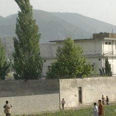
Osama bin Laden's compound in Abbottabad
2.6 km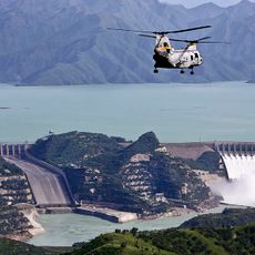
Tarbela Dam
48.6 km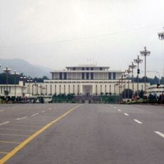
Aiwan-e-Sadr
48.5 km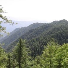
Ayubia National Park
21.8 km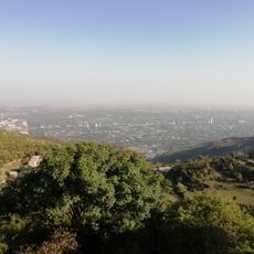
Pir Sohawa
46.3 km
Swearing-in ceremony of Imran Khan
48.5 km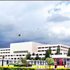
Parliament House, Islamabad
48.7 km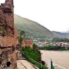
Muzaffarabad Fort
33.8 km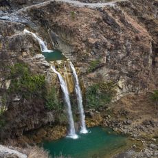
Sajikot Waterfall
18.1 km
Pakistan Secretariat
48.2 km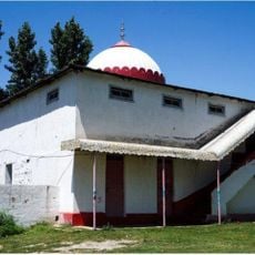
Mansehra Shiva Temple
26.9 km
Mansehra Rock Edicts
20.3 km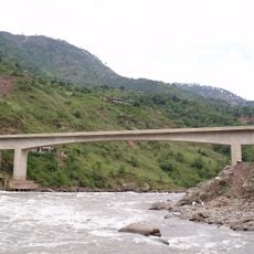
Kohala Bridge
26.6 km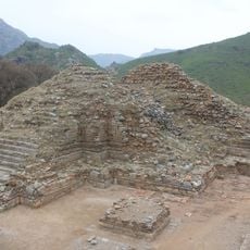
Bhamala Stupa
42.4 km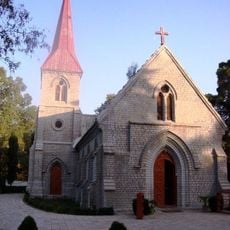
St. Luke's Church
872 m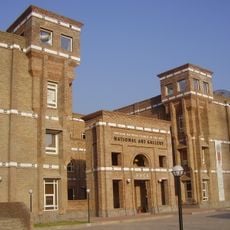
National Art Gallery, Pakistan
48.8 km
Dhodial Pheasantry
29.6 km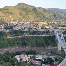
Earthquake Memorial Bridge
31 km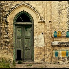
Rajgan Mosque
45.9 km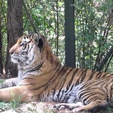
Murree Wildlife Park
32.1 km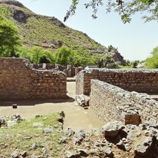
Khanpur Cave
48.9 km
Daman-e-Koh
48.7 km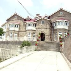
Convent of Jesus and Mary, Murree
32.8 km
Ilyasi Mosque
4 km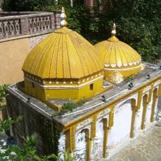
Gurdwara in Saidpur, Islamabad
47.8 km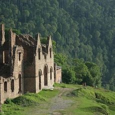
Murree Brewery ruins
33.1 km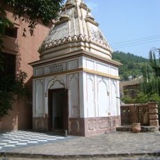
Hindu Temple in Saidpur, Islamabad
47.8 km
Trail 5 Margalla Hills
47.4 kmVisited this place? Tap the stars to rate it and share your experience / photos with the community! Try now! You can cancel it anytime.
Discover hidden gems everywhere you go!
From secret cafés to breathtaking viewpoints, skip the crowded tourist spots and find places that match your style. Our app makes it easy with voice search, smart filtering, route optimization, and insider tips from travelers worldwide. Download now for the complete mobile experience.

A unique approach to discovering new places❞
— Le Figaro
All the places worth exploring❞
— France Info
A tailor-made excursion in just a few clicks❞
— 20 Minutes