Ponta de Sagres e Cabo de São Vicente
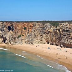
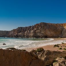
Ponta de Sagres e Cabo de São Vicente, Maritime heritage cliffs at Sagres peninsula, Portugal
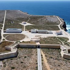
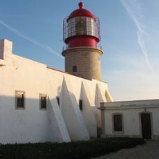
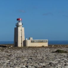
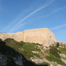
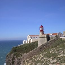
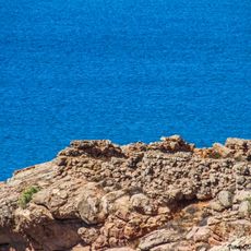
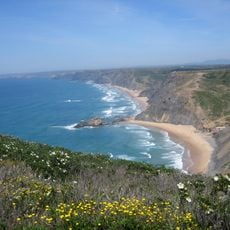
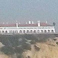
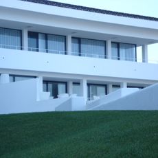
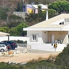
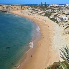
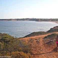
Ponta de Sagres and Cape St. Vincent are two headlands marking the southwestern tip of continental Europe, defined by sheer limestone cliffs that drop toward the Atlantic. The Sagres fortress dominates the point, while an active lighthouse at the cape has guided ships for nearly two centuries.
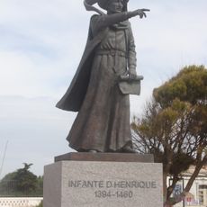
In the 15th century, Prince Henry the Navigator established a navigation school near these cliffs to train Portuguese explorers for maritime voyages. This school became central to developing the seafaring techniques that launched the Age of Discovery.
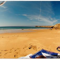
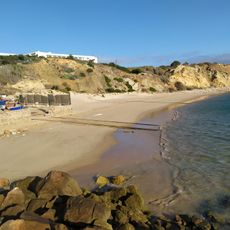
Fishing traditions remain visible along these cliffs, where locals continue methods rooted in generations of maritime life. The connection between the land and the sea shapes how people here relate to this dramatic landscape.
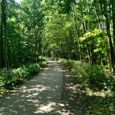
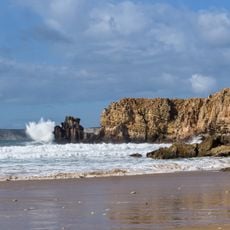
Visit year-round, though strong winds and rough seas can make the cliffs hazardous in certain conditions. Stay on marked paths and respect safety barriers, especially near the cliff edges.
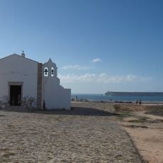
Ancient Romans called this place Promontorium Sacrum, viewing it as sacred ground where the sun descended into the ocean each evening. This ancient perception of a mystical event has shaped the site's identity through the centuries.
Location: Sagres
GPS coordinates: 37.03906,-8.93713
Latest update: December 15, 2025 13:26
Fortaleza de Sagres
4.4 km
E9 European long distance path
5.3 km
Cabo de São Vicente Lighthouse
5.6 km
Praia do Beliche
2.8 km
Escalos de Cima e Lousa
5.1 km
Fort of Santo António de Belixe
4.2 km
Conjunto de menires de Milrei e do Padrão
5.1 km
Fortaleza de São Vicente
5.5 km
Praia do Martinhal
2.5 km
Zavial Battery
5.5 km
Igreja de Nossa Senhora da Graça (Sagres)
4.4 km
Praia da Ingrina
5.2 km
Torre de Aspa
5.3 km
Igreja matriz de Vila do Bispo
5.5 km
Forte de Nossa Senhora da Guia
3.6 km
Pousada de São Vicente
3.7 km
Praia do Tonel
3.8 km
Câmara Municipal de Vila do Bispo
5.2 km
Posto da Guarda Fiscal, GF, de Torre de Aspa
6.3 km
Conjunto de menires de Vila do Bispo (Pedra Escorregadia; Casa do Francês; Amantes I; Amantes II; Cerro do Camacho)
3.2 km
Hotel da Baleeira
3.2 km
Posto da Guarda Fiscal, GF, de Zavial
5.1 km
Menires do Cerro do Camacho
3.3 km
Estátua do Infante D. Henrique
3.5 km
Praia da Baleeira (lapyahan, lat 37,01, long -8,93)
3.2 km
Praia da Mareta
3.8 km
Praia do Tonel (lapyahan sa Distrito de Faro)
3.8 km
Praia dos Rebolinhos
2.4 kmVisited this place? Tap the stars to rate it and share your experience / photos with the community! Try now! You can cancel it anytime.
Discover hidden gems everywhere you go!
From secret cafés to breathtaking viewpoints, skip the crowded tourist spots and find places that match your style. Our app makes it easy with voice search, smart filtering, route optimization, and insider tips from travelers worldwide. Download now for the complete mobile experience.
A unique approach to discovering new places❞
— Le Figaro
All the places worth exploring❞
— France Info
A tailor-made excursion in just a few clicks❞
— 20 Minutes