Peoria County

Log in to your account

AroundUs is a community-driven map of interesting places, built by curious explorers like you. It grows with every review, story, and photo you share.
Connect to save your favorite spots, contribute locations, and create personalized routes.
Continue with Google
Continue with Apple
Continue with X
Continue with Facebook
Continue with email
By continuing, you accept our Terms and Conditions and our Privacy Policy
Create an account
Add to collection
Map
Suggest a change
Share

Peoria County, Administrative division in Illinois, United States

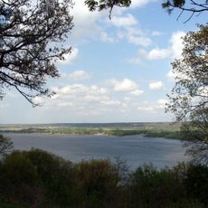
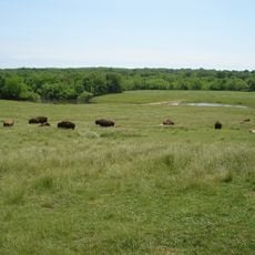
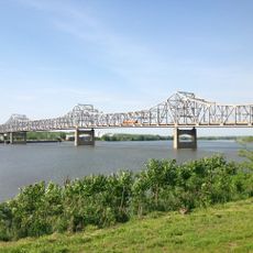
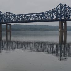
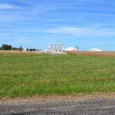
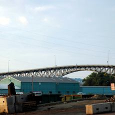
Peoria County is an administrative division in central Illinois where the Illinois River runs through the landscape, mixing agricultural areas with urban development. The region combines rural farmland with established towns and city growth.

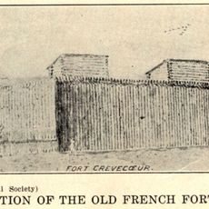
The county was established in 1825 on land previously inhabited by the Peoria people, from whom it took its name. Its founding marked the beginning of agricultural and industrial development in the central Illinois region.

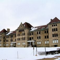
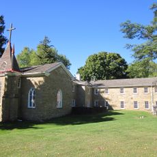
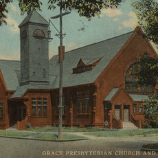
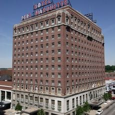
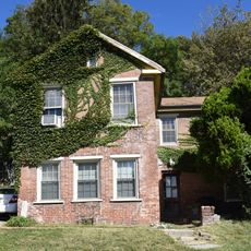
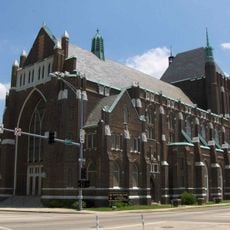
The county seat in Peoria city features buildings from different time periods, reflecting various American architectural styles that visitors can observe around the downtown area. Walking through the streets reveals how construction and design preferences evolved over generations.

The county is accessible through a well-maintained network of roads managed by the Peoria County Highway Department, which keeps infrastructure in regular working order. Visitors typically explore different parts of the area by car.

The area played a key role in American whiskey production during the 1800s, with many distilleries operating across the region at that time. These operations left a mark on how whiskey was made and distributed in the country.

Location: Illinois

Inception: 1825

Capital city: Peoria

Shares border with: Knox County, Stark County, Marshall County, Woodford County, Tazewell County, Fulton County

Website: https://peoriacounty.gov

GPS coordinates: 40.79000,-89.76000

Latest update: December 20, 2025 12:32

Photos
Around this place
Peoria State Hospital
United States of America

Peoria State Hospital

18.8 km
Peoria Civic Center
United States of America

Peoria Civic Center

17.7 km
Fort Crevecoeur
United States of America

Fort Crevecoeur

20.4 km
Grandview Drive
United States of America

Grandview Drive

18.3 km
Wildlife Prairie Park
United States of America

Wildlife Prairie Park

6.3 km
Jubilee College State Park
United States of America

Jubilee College State Park

3.5 km
Peoria Zoo
United States of America

Peoria Zoo

17.7 km
Peoria Riverfront Museum
United States of America

Peoria Riverfront Museum

18.2 km
Murray Baker Bridge
United States of America

Murray Baker Bridge

18.8 km
McClugage Bridge
United States of America

McClugage Bridge

19.7 km
Springdale Cemetery
United States of America

Springdale Cemetery

17.7 km
United States of America

Rock Island Trail State Park

20.1 km
Grace Presbyterian Church
United States of America

Grace Presbyterian Church

7.6 km
Madison Theatre
United States of America

Madison Theatre

17.8 km
Hotel Père Marquette
United States of America

Hotel Père Marquette

17.7 km
Glasford crater
United States of America

Glasford crater

21.2 km
Bob Michel Bridge
United States of America

Bob Michel Bridge

18.4 km
Powerton Lake State Fish and Wildlife Area
United States of America

Powerton Lake State Fish and Wildlife Area

27.2 km
Banner Marsh State Fish and Wildlife Area
United States of America

Banner Marsh State Fish and Wildlife Area

28.8 km
Cedar Street Bridge
United States of America

Cedar Street Bridge

18.4 km
Peoria Mineral Springs
United States of America

Peoria Mineral Springs

16.8 km
Scottish Rite Cathedral
United States of America

Scottish Rite Cathedral

17.7 km
Peoria City Hall
United States of America

Peoria City Hall

17.8 km
Pettingill-Morron House
United States of America

Pettingill-Morron House

16.4 km
United States of America

Woodford State Fish and Wildlife Area

26.8 km
John C. Flanagan House Museum
United States of America

John C. Flanagan House Museum

17.6 km
John T. McNaughton Bridge
United States of America

John T. McNaughton Bridge

25.2 km
George L. Luthy Memorial Botanical Garden
United States of America

George L. Luthy Memorial Botanical Garden

17.5 km
Show the full map
Reviews

Visited this place? Tap the stars to rate it and share your experience / photos with the community! Try now! You can cancel it anytime.

« Peoria County - Administrative division in Illinois, United States » is provided by Around Us (aroundus.com). Images and texts are derived from Wikimedia project under a Creative Commons license. You are allowed to copy, distribute, and modify copies of this page, under the conditions set by the license, as long as this note is clearly visible.

Discover hidden gems everywhere you go!

From secret cafés to breathtaking viewpoints, skip the crowded tourist spots and find places that match your style. Our app makes it easy with voice search, smart filtering, route optimization, and insider tips from travelers worldwide. Download now for the complete mobile experience.

Around Us App Screenshot

A unique approach to discovering new places

Le Figaro

All the places worth exploring

France Info

A tailor-made excursion in just a few clicks

20 Minutes