Chest opened
+${chestReward.xp} XP
Explorer
NOUVEAU ×${chestReward.collectible.quantity}
tapez pour fermer

See the monuments around you in AR Open chests in the app

Around Us is built for your phone — point your camera at the streets and discover the monuments and places around you in augmented reality. Around Us is built for your phone — chests unlock when you walk, explore and capture nearby places.

Enable Location

We need your location to show you interesting places around you

Discover nearby places

Find interesting locations and hidden gems around you

Precise directions

Get accurate directions and distances to places

Your location is never shared with other users. It's only used when you tap the location button.

Glasford crater

Log in to your account

Start exploring — it's free

Trusted by 85,606 travelers worldwide

Continue with Google
Continue with Apple
or

We will send you a code to connect

By continuing, you accept our Terms and Conditions and our Privacy Policy

Check your inbox

We've sent a pincode in your inbox. Please enter the code below.

Glasford crater
Discussion Reviews 1 Photos
2.8k Popularity

Glasford crater, Impact crater in Peoria County, Illinois, US.

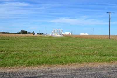
Glasford crater is an impact structure in Peoria County beneath southern Illinois farmland. It measures roughly 4 kilometers across and extends about 350 meters down, with its location confirmed through drilling operations.

The crater formed around 455 million years ago during the Ordovician period when a meteorite struck Earth. This impact event left a lasting geological mark on the region.

The Central Illinois Light Company identified this geological formation while conducting drilling operations for underground natural gas storage purposes.

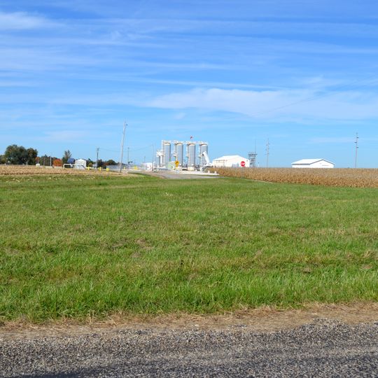
The crater remains buried below the surface and cannot be seen from ground level, so access is limited to research activities. Visitors can explore the area near Cowser and Kingston Mines Roads, though there are no above-ground features to observe.

The crater floor contains deformed quartz formations and shatter cones discovered during drilling for underground gas storage. These geological features confirm its meteoritic origin and set it apart from other ground formations in the area.

The community of curious travelers

AroundUs brings together thousands of curated places, local tips, and hidden gems, enriched daily by 60,000 contributors worldwide.
Start exploring
Location
GPS coordinates
40.60000,-89.78330
Latest update
August 30, 2026 17:17
Around this place
Peoria Civic Center
United States of America

Peoria Civic Center

11.8 mi
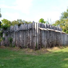
Fort Crevecoeur
United States of America

Fort Crevecoeur

9.9 mi
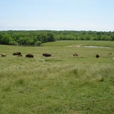
Wildlife Prairie Park
United States of America

Wildlife Prairie Park

9.5 mi
United States of America

Renaissance Coliseum

11.1 mi
Spring Lake State Fish and Wildlife Area
United States of America

Spring Lake State Fish and Wildlife Area

9.3 mi
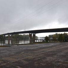
Bob Michel Bridge
United States of America

Bob Michel Bridge

11.6 mi
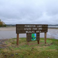
Powerton Lake State Fish and Wildlife Area
United States of America

Powerton Lake State Fish and Wildlife Area

5.5 mi
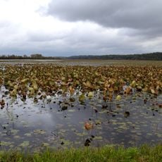
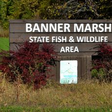
Banner Marsh State Fish and Wildlife Area
United States of America

Banner Marsh State Fish and Wildlife Area

5.2 mi
Cedar Street Bridge
United States of America

Cedar Street Bridge

11 mi
Peoria City Hall
United States of America

Peoria City Hall

11.9 mi
Pettingill-Morron House
United States of America

Pettingill-Morron House

11.1 mi
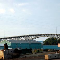
John T. McNaughton Bridge
United States of America

John T. McNaughton Bridge

6.7 mi
West Bluff Historic District
United States of America

West Bluff Historic District

10.5 mi
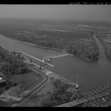
Peoria Lock and Dam
United States of America

Peoria Lock and Dam

8.6 mi
John C. Proctor Recreation Center
United States of America

John C. Proctor Recreation Center

10.6 mi
Tazewell County Courthouse
United States of America

Tazewell County Courthouse

7.4 mi
Shade-Lohmann Bridge
United States of America

Shade-Lohmann Bridge

8.8 mi
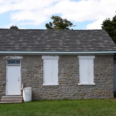
Pleasant Grove School
United States of America

Pleasant Grove School

6.3 mi
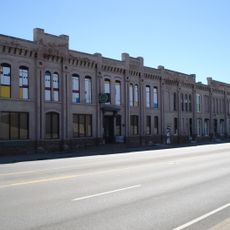
Peoria Cordage Company
United States of America

Peoria Cordage Company

10.9 mi
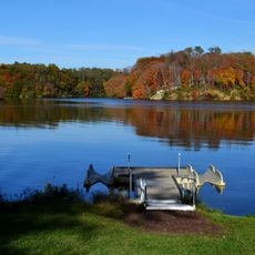
Canton Lake
United States of America

Canton Lake

10.3 mi
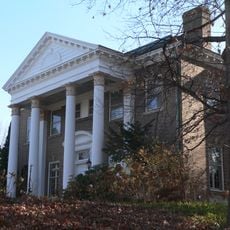
Carl Herget Mansion
United States of America

Carl Herget Mansion

7.6 mi
Cumberland Presbyterian Church
United States of America

Cumberland Presbyterian Church

11.7 mi
Lincoln Branch Peoria Public Library
United States of America

Lincoln Branch Peoria Public Library

10.5 mi
Christ Church of Lower Kickapoo
United States of America

Christ Church of Lower Kickapoo

8.8 mi
Pekin Federal Building
United States of America

Pekin Federal Building

7.4 mi
Laura Bradley Park
United States of America

Laura Bradley Park

11.3 mi
North Eighth Street Plaza
United States of America

North Eighth Street Plaza

7.6 mi
Creve Coeur Public Library District
United States of America

Creve Coeur Public Library District

10.3 mi
Show the full map
Reviews
Share your experience

No review yet

Discussions
Start a discussion...

No discussion yet

« Glasford crater - Impact crater in Peoria County, Illinois, US » is provided by Around Us (aroundus.com). Images and texts are derived from Wikimedia project under a Creative Commons license. You are allowed to copy, distribute, and modify copies of this page, under the conditions set by the license, as long as this note is clearly visible.

Discover hidden gems everywhere you go!

From secret cafés to breathtaking viewpoints, skip the crowded tourist spots and find places that match your style. Our app makes it easy with voice search, smart filtering, route optimization, and insider tips from travelers worldwide. Download now for the complete mobile experience.
Around Us App Screenshot

A unique approach to discovering new places

Le Figaro

All the places worth exploring

France Info

A tailor-made excursion in just a few clicks

20 Minutes

Around Us
Travel Guide & Maps
Download

Send to your phone

QR Code
1

Open the camera app on your mobile.

2

Point at the QR code with your camera. A notification will appear.

3

Tap the notification to open the link.