Enable Location

We need your location to show you interesting places around you

Discover nearby places

Find interesting locations and hidden gems around you

Precise directions

Get accurate directions and distances to places

Your location is never shared with other users. It's only used when you tap the location button.

Roxbury

Log in to your account

Start exploring — it's free

Trusted by 61,491 travelers worldwide

Continue with Google
Continue with Apple
or

We will send you a code to connect

By continuing, you accept our Terms and Conditions and our Privacy Policy

Check your inbox

We've sent a pincode in your inbox. Please enter the code below.

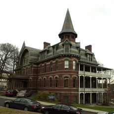
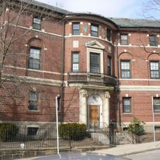
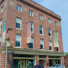
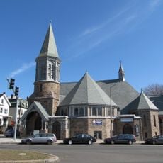
Roxbury, Residential neighborhood in Boston, US

Description

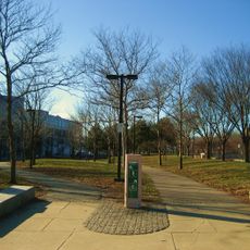
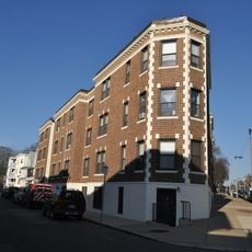
Roxbury is a residential neighborhood in central Boston with parks, community gardens, and urban farms managed by local initiatives. The area is connected to the rest of the city through the Silver Line transit system and multiple bus routes.

History

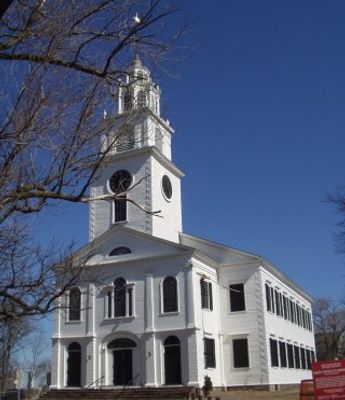
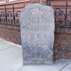
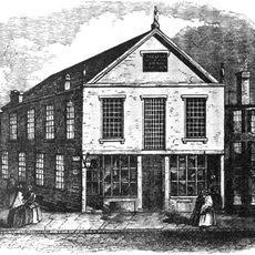
The neighborhood was founded in 1630 as one of the earliest towns in the Massachusetts Bay Colony and remained independent for centuries. Boston annexed it in 1868, marking the end of its history as a separate community.

Culture

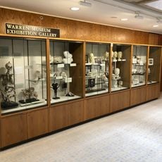
The cultural center in Roxbury is an important venue for art exhibitions focusing on African and African-American artists. Visitors can see contemporary and historical works that reflect the artistic heritage of the community.

Practical

The neighborhood is easy to reach by public transit, especially the Silver Line at Nubian Square and nearby Orange Line stations. Visitors should plan to explore the main areas on foot or by bus, as the neighborhood is well-connected throughout.

Did you know?

The neighborhood pioneered urban agriculture in Boston, with community projects that brought fresh produce to residents at affordable prices. These initiatives show how neighborhoods can contribute to improving local food access on their own.

Location
Inception
September 28, 1630
Shares border with
South End, Dorchester, Jamaica Plain, Mission Hill
GPS coordinates
42.32500,-71.09528
Latest update
December 13, 2025 17:05

AroundUs brings together thousands of curated places, local tips, and hidden gems, enriched daily by 60,000 contributors worldwide. Discover all places nearby (Boston).

Around this place
Franklin Park Zoo
United States of America

Franklin Park Zoo

2.3 km
Forest Hills Cemetery
United States of America

Forest Hills Cemetery

3.5 km
Warren Anatomical Museum
United States of America

Warren Anatomical Museum

1.3 km
Franklin Park
United States of America

Franklin Park

2.6 km
Roxbury Highlands Historic District
United States of America

Roxbury Highlands Historic District

394 m
Southwest Corridor Park
United States of America

Southwest Corridor Park

336 m
1767 Milestones
United States of America

1767 Milestones

642 m
Malcolm X—Ella Little-Collins House
United States of America

Malcolm X—Ella Little-Collins House

827 m
Shirley-Eustis House
United States of America

Shirley-Eustis House

1.9 km
Mosque No. 11
United States of America

Mosque No. 11

1.9 km
Roxbury Heritage State Park
United States of America

Roxbury Heritage State Park

704 m
Roxbury High Fort
United States of America

Roxbury High Fort

75 m
Dimock Community Health Center Complex
United States of America

Dimock Community Health Center Complex

652 m
Boston Medical Library
United States of America

Boston Medical Library

1.3 km
St. Joseph Catholic Church
United States of America

St. Joseph Catholic Church

630 m
Hibernian Hall
United States of America

Hibernian Hall

1.1 km
Twelfth Baptist Church, Boston
United States of America

Twelfth Baptist Church, Boston

1 km
Eliot Burying Ground
United States of America

Eliot Burying Ground

1.3 km
Abbotsford
United States of America

Abbotsford

993 m
Buildings at 825–829 Blue Hill Avenue
United States of America

Buildings at 825–829 Blue Hill Avenue

3.2 km
Roxbury Presbyterian Church
United States of America

Roxbury Presbyterian Church

1.3 km
William Lloyd Garrison House
United States of America

William Lloyd Garrison House

168 m
Benedict Fenwick School
United States of America

Benedict Fenwick School

2.3 km
Timothy Hoxie House
United States of America

Timothy Hoxie House

1.1 km
Edward Everett Hale House
United States of America

Edward Everett Hale House

490 m
Alvah Kittredge House
United States of America

Alvah Kittredge House

538 m
Congregation Adath Jeshurun
United States of America

Congregation Adath Jeshurun

1.9 km
John Eliot Square District
United States of America

John Eliot Square District

640 m
Show the full map
« Roxbury - Residential neighborhood in Boston, US » is provided by Around Us (aroundus.com). Images and texts are derived from Wikimedia project under a Creative Commons license. You are allowed to copy, distribute, and modify copies of this page, under the conditions set by the license, as long as this note is clearly visible.

Discover hidden gems everywhere you go!

From secret cafés to breathtaking viewpoints, skip the crowded tourist spots and find places that match your style. Our app makes it easy with voice search, smart filtering, route optimization, and insider tips from travelers worldwide. Download now for the complete mobile experience.

Around Us App Screenshot

A unique approach to discovering new places

Le Figaro

All the places worth exploring

France Info

A tailor-made excursion in just a few clicks

20 Minutes

Around Us
Travel Guide & Maps
Download

Send to your phone

QR Code
1

Open the camera app on your mobile.

2

Point at the QR code with your camera. A notification will appear.

3

Tap the notification to open the link.