Keweenaw County

Log in to your account

AroundUs is a community-driven map of interesting places, built by curious explorers like you. It grows with every review, story, and photo you share.
Connect to save your favorite spots, contribute locations, and create personalized routes.
By continuing, you accept our Terms and Conditions and our Privacy Policy
Add to collection
Map
Suggest a change
Share

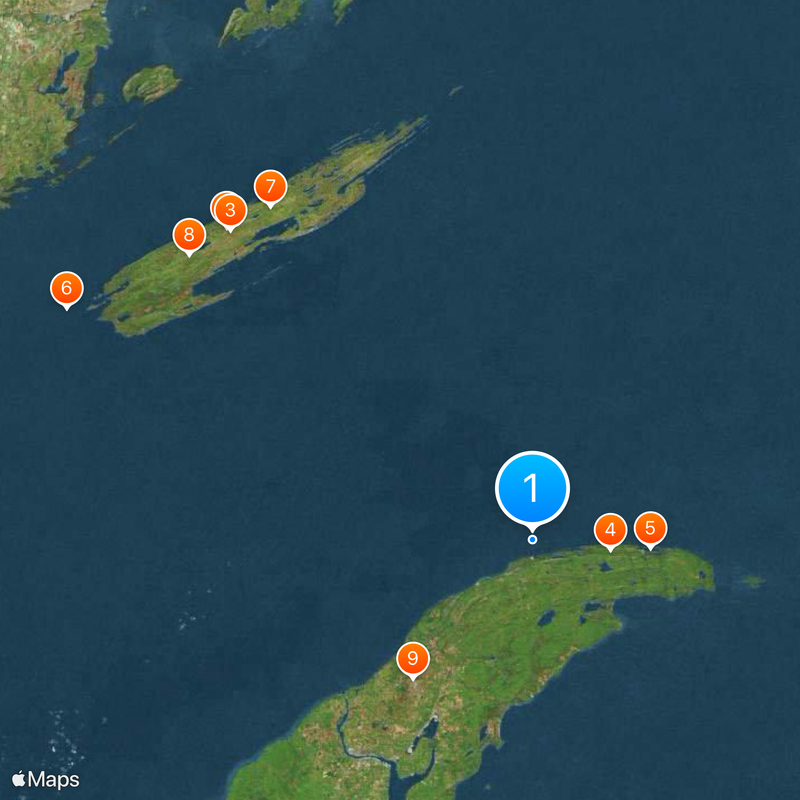
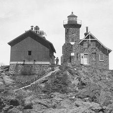
Keweenaw County, Administrative county in Upper Peninsula, Michigan, US

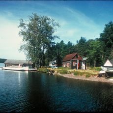
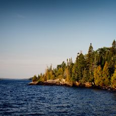
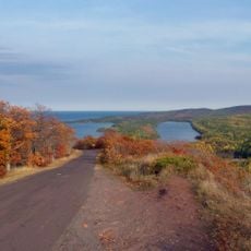
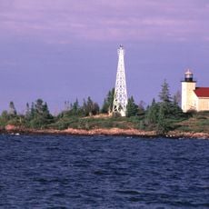
Keweenaw County encompasses the northeastern Keweenaw Peninsula and Isle Royale, with water covering 91 percent of its total territory. The landscape is dominated by Lake Superior, which surrounds and defines the geography of this remote region.

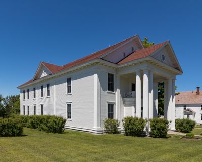
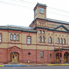
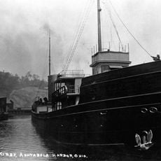
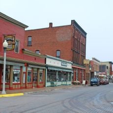
The county was established in 1861 and grew substantially during copper mining, which dominated the economy from the 1840s through the 1960s. When mining declined, the region underwent major economic and social transformation.

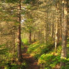
The name Keweenaw comes from the Ojibwe language, referencing the traditional portage routes that Native Americans used to cross the peninsula. These passages continue to shape how visitors and residents navigate and understand this landscape.

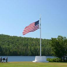
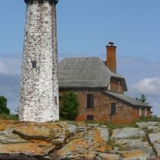
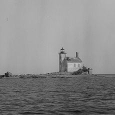
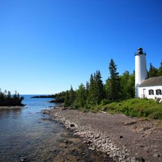
Eagle River serves as the county seat, providing access to two major National Park Service locations: Isle Royale National Park and Keweenaw National Historical Park. Planning ahead is essential here, as infrastructure is limited and spread across remote areas.

Although the county covers about 5,966 square miles total, only about 540 square miles are land. This makes it the county with the highest water-to-land ratio in the entire United States.

Location: Michigan

Inception: 1861

Capital city: Eagle River

Shares border with: Ontonagon County, Houghton County, Marquette County, Cook County

Website: http://keweenawcountyonline.org

GPS coordinates: 47.48000,-88.16000

Latest update: December 13, 2025 14:32

Photos
Around this place
Isle Royale
United States of America

Isle Royale

81 km
Isle Royale National Park
United States of America

Isle Royale National Park

80.3 km
Brockway Mountain Drive
United States of America

Brockway Mountain Drive

14.5 km
Fort Wilkins Historic State Park
United States of America

Fort Wilkins Historic State Park

21.9 km
Rock of Ages Light
United States of America

Rock of Ages Light

96.6 km
Greenstone Ridge Trail
United States of America

Greenstone Ridge Trail

78.6 km
United States of America

Mount Desor

82.9 km
Calumet Theatre
United States of America

Calumet Theatre

34.1 km
Isle Royale Light
United States of America

Isle Royale Light

68.6 km
Estivant Pines
United States of America

Estivant Pines

21.6 km
McLain State Park
United States of America

McLain State Park

43.3 km
SS S.R. Kirby
United States of America

SS S.R. Kirby

10.6 km
Copper Harbor Light
United States of America

Copper Harbor Light

22.6 km
Sand Hills Light
United States of America

Sand Hills Light

18.4 km
Thomas H. Hoatson House
United States of America

Thomas H. Hoatson House

34.5 km
Calumet Historic District
United States of America

Calumet Historic District

36.7 km
SS Hudson
United States of America

SS Hudson

7.3 km
Eagle Harbor Light
United States of America

Eagle Harbor Light

2.3 km
Eagle River Timber Bridge
United States of America

Eagle River Timber Bridge

12.8 km
Gull Rock Light Station
United States of America

Gull Rock Light Station

38 km
Calumet and Hecla Industrial District
United States of America

Calumet and Hecla Industrial District

34.3 km
Rock Harbor Light
United States of America

Rock Harbor Light

74.8 km
Calumet Downtown Historic District
United States of America

Calumet Downtown Historic District

34.1 km
Passage Island Light
United States of America

Passage Island Light

84.2 km
Keweenaw Mountain Lodge and Golf Course Complex
United States of America

Keweenaw Mountain Lodge and Golf Course Complex

19.2 km
Edisen Fishery
United States of America

Edisen Fishery

74.8 km
Calumet Fire Station
United States of America

Calumet Fire Station

34 km
Eagle River Light
United States of America

Eagle River Light

12.8 km
Show the full map
Reviews

Visited this place? Tap the stars to rate it and share your experience / photos with the community! Try now! You can cancel it anytime.

Administrative divisions
« Keweenaw County - Administrative county in Upper Peninsula, Michigan, US » is provided by Around Us (aroundus.com). Images and texts are derived from Wikimedia project under a Creative Commons license. You are allowed to copy, distribute, and modify copies of this page, under the conditions set by the license, as long as this note is clearly visible.

Discover hidden gems everywhere you go!

From secret cafés to breathtaking viewpoints, skip the crowded tourist spots and find places that match your style. Our app makes it easy with voice search, smart filtering, route optimization, and insider tips from travelers worldwide. Download now for the complete mobile experience.

Around Us App Screenshot

A unique approach to discovering new places

Le Figaro

All the places worth exploring

France Info

A tailor-made excursion in just a few clicks

20 Minutes