Lewis County

Log in to your account

AroundUs is a community-driven map of interesting places, built by curious explorers like you. It grows with every review, story, and photo you share.
Connect to save your favorite spots, contribute locations, and create personalized routes.
By continuing, you accept our Terms and Conditions and our Privacy Policy
Add to collection
Map
Suggest a change
Share

Lewis County, Administrative county in northeastern Kentucky, United States

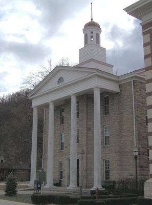
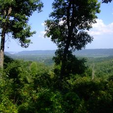
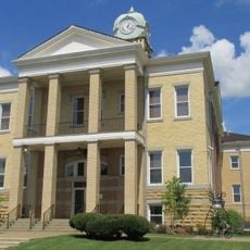
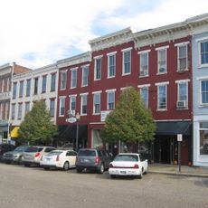
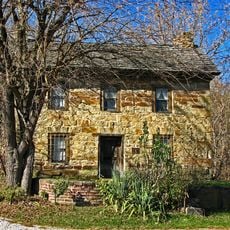
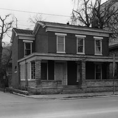
Lewis County is an administrative county in northeastern Kentucky that spans rolling forested terrain along the Ohio River border. Vanceburg serves as the county seat and contains the main government buildings, courthouse, and public facilities for the region.

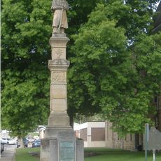
The county was established in 1806 and named after explorer Meriwether Lewis from the Lewis and Clark Expedition. This naming connected the region to the broader story of westward exploration and development.

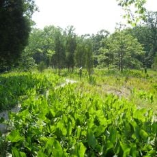
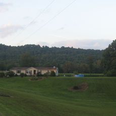
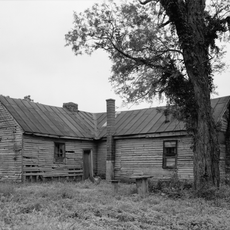
Local farming families shape the landscape here, with small operations that supply food to nearby communities and define how people use the land throughout the seasons.

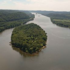
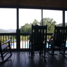
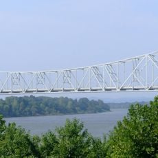
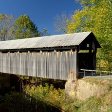
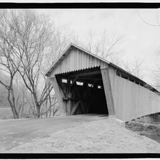
The area is easy to navigate by car with roads connecting the main communities throughout the county. The Ohio River provides opportunities to experience the natural boundary that shapes how residents interact with the landscape.

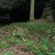
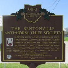
Salt mining along Salt Lick Creek shaped early industrial activity in the region, particularly around Vanceburg. This natural salt source attracted early settlers and left marks on local development and the landscape.

Location: Kentucky

Inception: December 2, 1806

Capital city: Vanceburg

Shares border with: Adams County, Scioto County, Greenup County, Carter County, Rowan County, Fleming County, Mason County

Website: http://lewischamber.com

GPS coordinates: 38.53000,-83.39000

Latest update: December 7, 2025 19:29

Photos
Around this place
Show the full map
Carter Caves State Resort Park
United States of America

Carter Caves State Resort Park

29.1 km
Lower Shawneetown
United States of America

Lower Shawneetown

38.4 km
Ohio River Islands National Wildlife Refuge
United States of America

Ohio River Islands National Wildlife Refuge

24.1 km
Shawnee State Park
United States of America

Shawnee State Park

28.2 km
U.S. Grant Bridge
United States of America

U.S. Grant Bridge

40.4 km
Shawnee State Forest
United States of America

Shawnee State Forest

29.1 km
Adams Lake State Park
United States of America

Adams Lake State Park

33.8 km
Carl Perkins Bridge
United States of America

Carl Perkins Bridge

39.2 km
Bat Cave and Cascade Caverns State Nature Preserves
United States of America

Bat Cave and Cascade Caverns State Nature Preserves

31.1 km
Union Monument in Vanceburg
United States of America

Union Monument in Vanceburg

10.2 km
Adams County Paleo-Indian District
United States of America

Adams County Paleo-Indian District

12.5 km
Adams County Courthouse
United States of America

Adams County Courthouse

32.3 km
Goddard Covered Bridge
United States of America

Goddard Covered Bridge

27.1 km
Boneyfiddle Commercial District
United States of America

Boneyfiddle Commercial District

40.9 km
Saltpeter Cave
United States of America

Saltpeter Cave

28.8 km
Cabin Creek Covered Bridge
United States of America

Cabin Creek Covered Bridge

22 km
Buckeye Station
United States of America

Buckeye Station

23.6 km
Philip Moore Stone House
United States of America

Philip Moore Stone House

39 km
Ringos Mill Covered Bridge
United States of America

Ringos Mill Covered Bridge

34.9 km
Bennett's Mill Covered Bridge
United States of America

Bennett's Mill Covered Bridge

41.8 km
First Presbyterian Church
United States of America

First Presbyterian Church

32.4 km
Odd Fellows Hall
United States of America

Odd Fellows Hall

40.8 km
Kirker Covered Bridge
United States of America

Kirker Covered Bridge

33.8 km
Haldeman Voting House No. 8
United States of America

Haldeman Voting House No. 8

32.4 km
Brushy Voting House No. 6
United States of America

Brushy Voting House No. 6

34.5 km
William Newman House
United States of America

William Newman House

40.8 km
The Bentonville Anti-Horse Thief Society
United States of America

The Bentonville Anti-Horse Thief Society

31.3 km
Portsmouth Earthworks, Group A
United States of America

Portsmouth Earthworks, Group A

38.4 km
Show the full map
Reviews

Visited this place? Tap the stars to rate it and share your experience / photos with the community! Try now! You can cancel it anytime.

« Lewis County - Administrative county in northeastern Kentucky, United States » is provided by Around Us (aroundus.com). Images and texts are derived from Wikimedia project under a Creative Commons license. You are allowed to copy, distribute, and modify copies of this page, under the conditions set by the license, as long as this note is clearly visible.

Discover hidden gems everywhere you go!

From secret cafés to breathtaking viewpoints, skip the crowded tourist spots and find places that match your style. Our app makes it easy with voice search, smart filtering, route optimization, and insider tips from travelers worldwide. Download now for the complete mobile experience.

Around Us App Screenshot

A unique approach to discovering new places

Le Figaro

All the places worth exploring

France Info

A tailor-made excursion in just a few clicks

20 Minutes