Enable Location

We need your location to show you interesting places around you

Discover nearby places

Find interesting locations and hidden gems around you

Precise directions

Get accurate directions and distances to places

Your location is never shared with other users. It's only used when you tap the location button.

Pen Argyl

Log in to your account

Start exploring — it's free

Trusted by 63,621 travelers worldwide

Continue with Google
Continue with Apple
or

We will send you a code to connect

By continuing, you accept our Terms and Conditions and our Privacy Policy

Check your inbox

We've sent a pincode in your inbox. Please enter the code below.

Discussion Reviews 1 Photos
17.5k Popularity

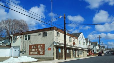
Pen Argyl, borough in Pennsylvania, United States of America

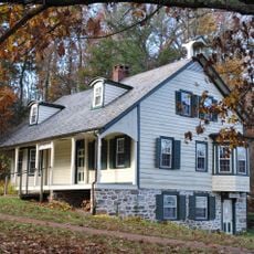
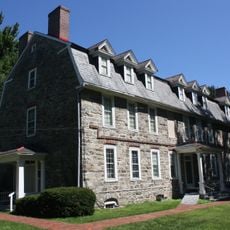
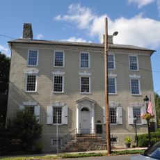
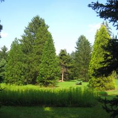
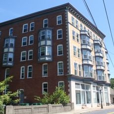
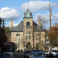
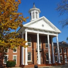
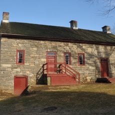
Pen Argyl is a small borough in Northampton County, Pennsylvania, featuring quiet streets lined with older brick buildings and local shops. Parks and community spaces dot the area, providing places where residents gather for daily activities and social connection.

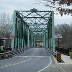
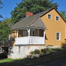
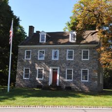
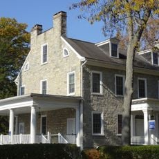
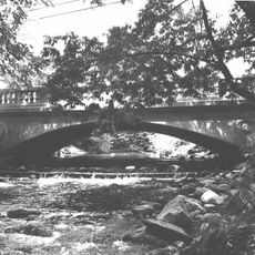
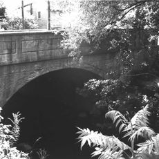
The town developed during the coal mining era when the industry drew workers and families to the region. Many of the older buildings and local stories still reflect this mining heritage that shaped the community's growth and character.

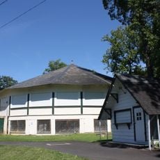
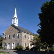
The name Pen Argyl comes from Welsh words meaning "point of slate" and reflects the area's mining heritage. Residents gather regularly at community centers and churches, which serve as gathering places that help maintain strong neighborhood connections and local traditions.

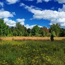
Most shops, services, and parks are easy to find and accessible within the small town layout. Public transportation is limited, so having a car is recommended for getting around and exploring the surrounding areas.

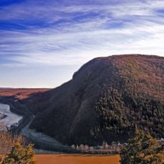
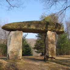
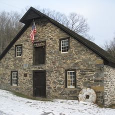
Nearby abandoned coal mines stand as quiet reminders of the region's industrial past and how mining shaped the landscape. Some visitors explore these historic sites to better understand the lives of the workers who once labored underground.

The community of curious travelers

AroundUs brings together thousands of curated places, local tips, and hidden gems, enriched daily by 60,000 contributors worldwide.

Start exploring
Inception
1882
GPS coordinates
40.86889,-75.25556
Latest update
February 17, 2026 00:40
Around this place
Delaware Water Gap Toll Bridge
United States of America

Delaware Water Gap Toll Bridge

15.7 km
Delaware River Viaduct
United States of America

Delaware River Viaduct

14.7 km
Sherman Theater
United States of America

Sherman Theater

14.2 km
Mount Minsi
United States of America

Mount Minsi

14.7 km
Jacobsburg Environmental Education Center
United States of America

Jacobsburg Environmental Education Center

9.8 km
Cherry Valley National Wildlife Refuge
United States of America

Cherry Valley National Wildlife Refuge

4.6 km
United States of America

Indian Tower

14.7 km
Weona Park Carousel
United States of America

Weona Park Carousel

623 m
Riverton–Belvidere Bridge
United States of America

Riverton–Belvidere Bridge

15.1 km
Darlington's Bridge at Delaware Station
United States of America

Darlington's Bridge at Delaware Station

15.6 km
Portland–Columbia Pedestrian Bridge
United States of America

Portland–Columbia Pedestrian Bridge

14.8 km
Portland–Columbia Toll Bridge
United States of America

Portland–Columbia Toll Bridge

15 km
Whitefield House and Gray Cottage
United States of America

Whitefield House and Gray Cottage

14.9 km
Columcille Megalith Park
United States of America

Columcille Megalith Park

8 km
Stroud Mansion
United States of America

Stroud Mansion

13.7 km
Quiet Valley Farm
United States of America

Quiet Valley Farm

9.8 km
Christ Hamilton United Lutheran Church and Cemetery
United States of America

Christ Hamilton United Lutheran Church and Cemetery

7 km
Lee and Virginia Graver Arboretum
United States of America

Lee and Virginia Graver Arboretum

11.9 km
Real Estate Building
United States of America

Real Estate Building

4.2 km
Monroe County Courthouse
United States of America

Monroe County Courthouse

14.1 km
Academy Hill Historic District
United States of America

Academy Hill Historic District

14.3 km
Ross Common Manor
United States of America

Ross Common Manor

4.3 km
Warren County Courthouse
United States of America

Warren County Courthouse

15.8 km
Belvidere Historic District
United States of America

Belvidere Historic District

15.7 km
Fenner–Snyder Mill
United States of America

Fenner–Snyder Mill

8.9 km
Bridge in Bangor Borough
United States of America

Bridge in Bangor Borough

4 km
Van Nest–Hoff–Vannatta Farmstead
United States of America

Van Nest–Hoff–Vannatta Farmstead

15.8 km
County Bridge No. 36
United States of America

County Bridge No. 36

14.7 km
Show the full map
Reviews
Share your experience

No review yet

Discussions
Start a discussion...

No discussion yet

« Pen Argyl - borough in Pennsylvania, United States of America » is provided by Around Us (aroundus.com). Images and texts are derived from Wikimedia project under a Creative Commons license. You are allowed to copy, distribute, and modify copies of this page, under the conditions set by the license, as long as this note is clearly visible.

Discover hidden gems everywhere you go!

From secret cafés to breathtaking viewpoints, skip the crowded tourist spots and find places that match your style. Our app makes it easy with voice search, smart filtering, route optimization, and insider tips from travelers worldwide. Download now for the complete mobile experience.

Around Us App Screenshot

A unique approach to discovering new places

Le Figaro

All the places worth exploring

France Info

A tailor-made excursion in just a few clicks

20 Minutes

Around Us
Travel Guide & Maps
Download

Send to your phone

QR Code
1

Open the camera app on your mobile.

2

Point at the QR code with your camera. A notification will appear.

3

Tap the notification to open the link.