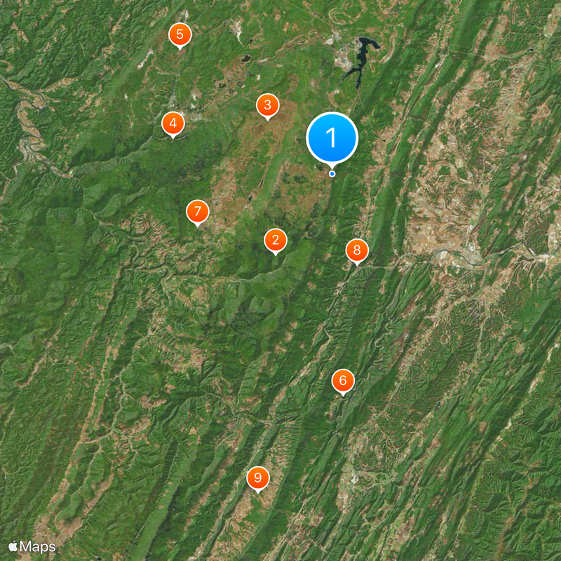
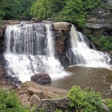
Allegheny Front, Mountain ridge in Highland County, United States.
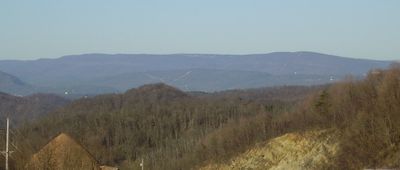
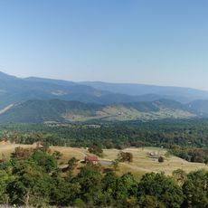
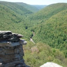
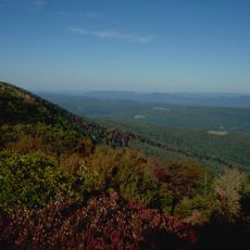
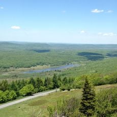
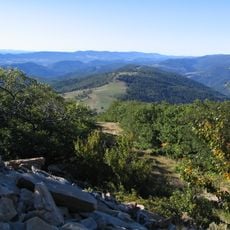
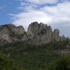
The Allegheny Front is a mountain ridge running about 180 miles through Pennsylvania, Maryland, and West Virginia, forming a natural boundary between the Ridge-and-Valley Appalachians and the Appalachian Plateau. The formation creates steep slopes on its eastern face and serves as a sharp divide in the terrain.
European explorers first documented this geological formation in 1669, marking a turning point in the exploration of North American mountain chains. Throughout the colonial and early American periods, the ridge served as an important landmark for travelers and settlers expanding westward.
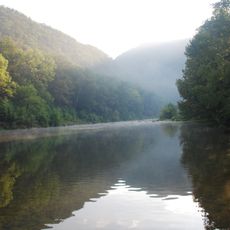
The name comes from a Delaware Native American language and refers to the river flowing through the northern part of the range. For centuries, local people have used the passes and valleys here to travel between different parts of Appalachia.
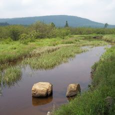
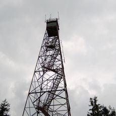
Several established hiking paths connect through here as part of the Eastern Continental Divide Trail, offering views across multiple states. Access points are available at various locations along the ridge, though it helps to carry a map or GPS device, especially through the more forested sections.
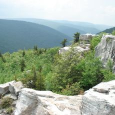
Mount Porte Crayon, the highest point along this ridge, reaches about 4,774 feet in elevation. The peak takes its name from a 19th-century artist and traveler who explored and recorded the region.
The community of curious travelers
AroundUs brings together thousands of curated places, local tips, and hidden gems, enriched daily by 60,000 contributors worldwide.