Enable Location

We need your location to show you interesting places around you

Discover nearby places

Find interesting locations and hidden gems around you

Precise directions

Get accurate directions and distances to places

Your location is never shared with other users. It's only used when you tap the location button.

Llanes

Log in to your account

Start exploring — it's free

Trusted by 61,550 travelers worldwide

Continue with Google
Continue with Apple
or

We will send you a code to connect

By continuing, you accept our Terms and Conditions and our Privacy Policy

Check your inbox

We've sent a pincode in your inbox. Please enter the code below.

Llanes, Council area in Asturias, Spain

Description

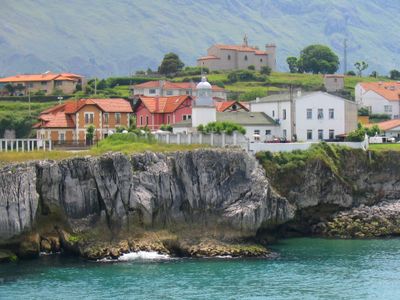
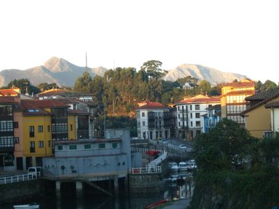
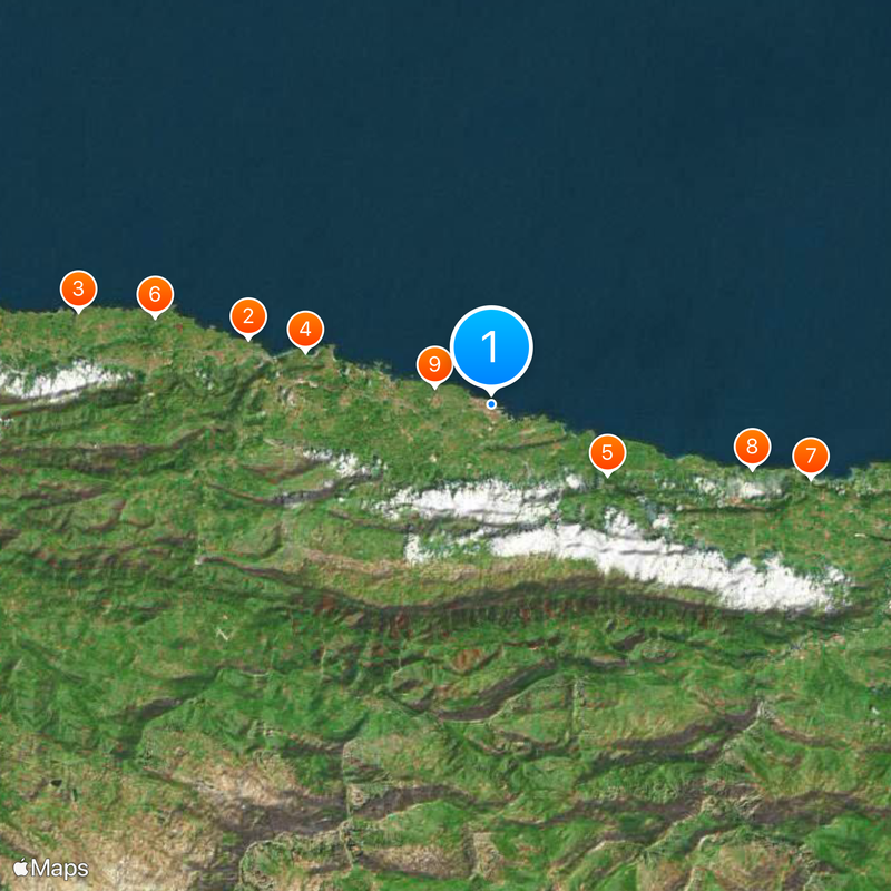
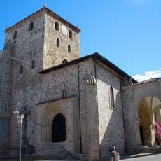
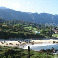
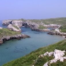
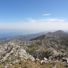
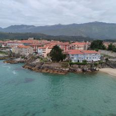
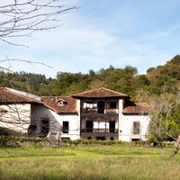
Llanes is an administrative district in the province of Asturias that runs along the coast of the Cantabrian Sea and is bordered by the Sierra del Cuera range to the south. The district includes several dozen small settlements and the central town of the same name, which sits directly by the water.

History

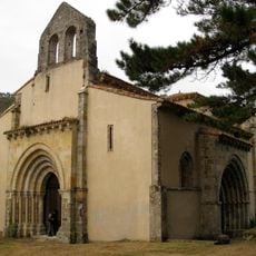
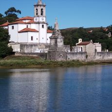
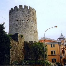
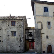
Town rights were granted in the 13th century when the crown developed the settlement as a stronghold against attacks from the sea. Later the district became an important harbor for trade between the mountains and the shipping routes to the Americas.

Culture

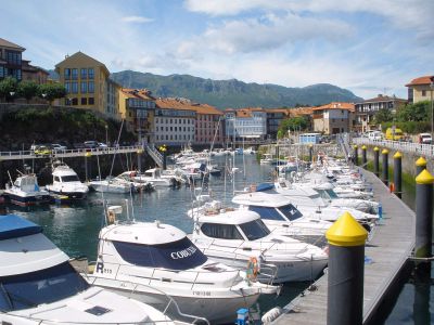
The harbor sits below the old town and shows how the fishing village grew into today's administrative center. Many street names reference former sailors and traders who shaped local life.

Practical

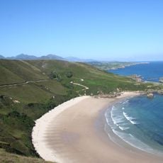
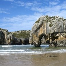
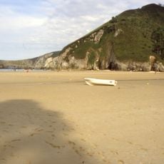
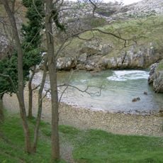
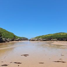
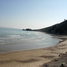
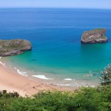
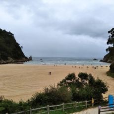
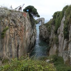
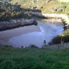
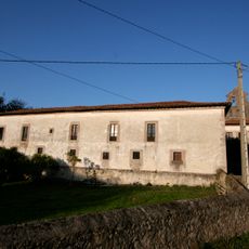
The main road runs parallel to the coast and connects the scattered settlements, while smaller paths lead up into the mountains. Many beaches lie hidden between the rocks and require short walks from the nearest parking area.

Did you know?

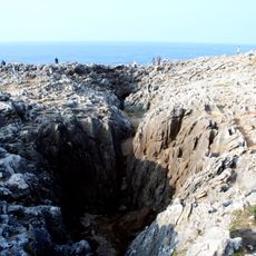
At some points along the coast you can search for sea creatures in small rock pools at low tide, which are covered again at high tide. These pools often lie away from the known beaches and are mostly visited by locals.

Capital city
Llanes
Elevation above the sea
1,177 m
Part of
Mancomunitat de los Concejos de Llanes y Ribadedeva, Mancomunidad de los Concejos del Oriente de Asturias
Shares border with
Ribadesella, Cangues d'Onís, Onís, Cabrales, Peñamellera Alta, Peñamellera Baja, Ribadedeva
GPS coordinates
43.42112,-4.75308
Latest update
December 13, 2025 18:36

AroundUs brings together thousands of curated places, local tips, and hidden gems, enriched daily by 60,000 contributors worldwide. Discover all places nearby (Province of Asturias).

Administrative divisions
« Llanes - Council area in Asturias, Spain » is provided by Around Us (aroundus.com). Images and texts are derived from Wikimedia project under a Creative Commons license. You are allowed to copy, distribute, and modify copies of this page, under the conditions set by the license, as long as this note is clearly visible.

Discover hidden gems everywhere you go!

From secret cafés to breathtaking viewpoints, skip the crowded tourist spots and find places that match your style. Our app makes it easy with voice search, smart filtering, route optimization, and insider tips from travelers worldwide. Download now for the complete mobile experience.

Around Us App Screenshot

A unique approach to discovering new places

Le Figaro

All the places worth exploring

France Info

A tailor-made excursion in just a few clicks

20 Minutes

Around Us
Travel Guide & Maps
Download

Send to your phone

QR Code
1

Open the camera app on your mobile.

2

Point at the QR code with your camera. A notification will appear.

3

Tap the notification to open the link.