Cáceres

Log in to your account

AroundUs is a community-driven map of interesting places, built by curious explorers like you. It grows with every review, story, and photo you share.
Connect to save your favorite spots, contribute locations, and create personalized routes.
Continue with Google
Continue with Apple
Continue with X
Continue with Facebook
Continue with email
By continuing, you accept our Terms and Conditions and our Privacy Policy
Create an account
Add to collection
Map
Suggest a change
Share

Cáceres, Historic municipality in Extremadura, Spain

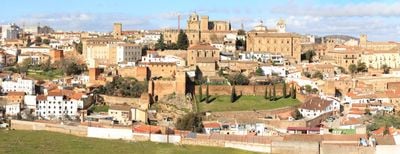
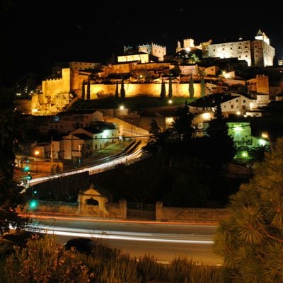
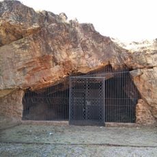
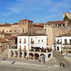
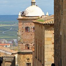
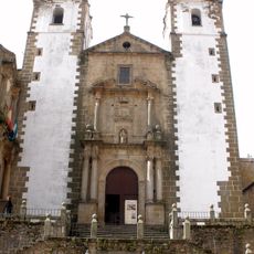
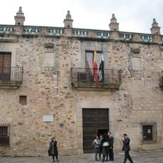
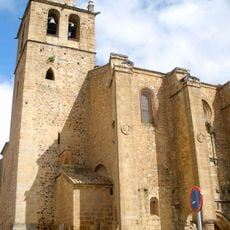
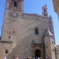
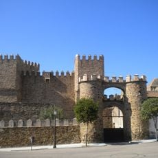
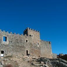
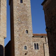
Cáceres is a municipality in Cáceres Province within Extremadura, featuring a walled old town filled with stone towers and noble palaces. The alleys are narrow and cobbled, and the buildings in yellowish sandstone rise three or four storeys high.

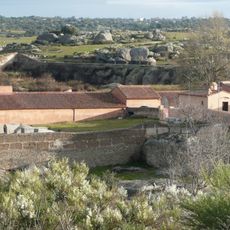
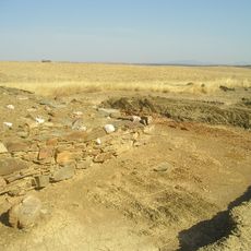
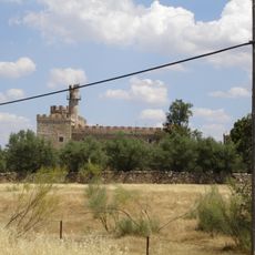
The settlement began in 25 BC under Roman rule as a military camp and later became a Muslim stronghold before Christians seized it in 1229. In the following centuries, nobles built the towers and palaces seen today after finishing wars and expeditions on the Iberian Peninsula.

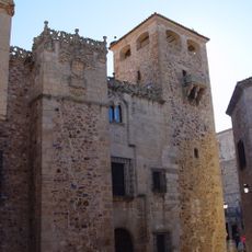
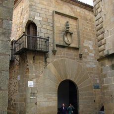
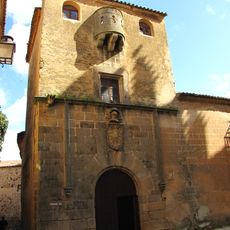
The old quarter carries the name Cáceres, derived from Roman Castra Caecilia, and displays coat-of-arms on façades and wrought-iron balconies today. Many of these houses once belonged to families who fought in wars against the Moors and later received titles and wealth.

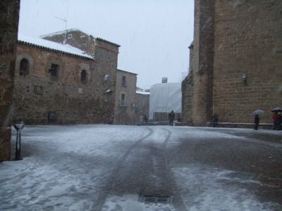
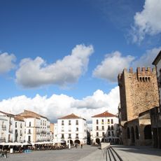
The old quarter can be fully explored on foot, and most routes start at Plaza Mayor, from which you walk through the cobbled streets. On hot summer days the narrow alleys offer shade, and you can take breaks in small courtyards or under archways.

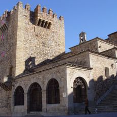
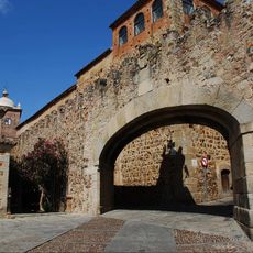
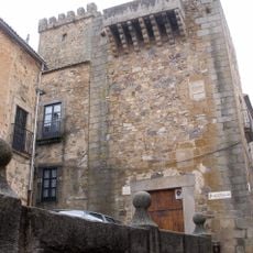
The old quarter contains more than 30 defensive towers dating from different periods, often resting on older Roman or Arab foundations. The Torre de Bujaco at the entrance to the historic center once served as a watchtower and now offers views over rooftops and squares around it.

Location: Cáceres Province

Capital city: Cáceres city

Elevation above the sea: 459 m

Part of: Red de Juderías de España

Shares border with: Alcuéscar, Aldea del Cano, Aliseda, Botija, Brozas, Carmonita, Casar de Cáceres, Casas de Don Antonio, Cordobilla de Lácara, Garrovillas de Alconétar, Herreruela, Malpartida de Cáceres, Mérida, Montánchez, Plasenzuela, Puebla de Obando, Santiago del Campo, Sierra de Fuentes, Torremocha, Torreorgaz, Torrequemada, Arroyo de la Luz, Talaván, Trujillo, Santa Marta de Magasca, Badajoz, Alburquerque

Website: http://ayto-caceres.es

GPS coordinates: 39.47306,-6.37111

Latest update: December 14, 2025 23:48

Photos
Reviews

Visited this place? Tap the stars to rate it and share your experience / photos with the community! Try now! You can cancel it anytime.

« Cáceres - Historic municipality in Extremadura, Spain » is provided by Around Us (aroundus.com). Images and texts are derived from Wikimedia project under a Creative Commons license. You are allowed to copy, distribute, and modify copies of this page, under the conditions set by the license, as long as this note is clearly visible.

Discover hidden gems everywhere you go!

From secret cafés to breathtaking viewpoints, skip the crowded tourist spots and find places that match your style. Our app makes it easy with voice search, smart filtering, route optimization, and insider tips from travelers worldwide. Download now for the complete mobile experience.

Around Us App Screenshot

A unique approach to discovering new places

Le Figaro

All the places worth exploring

France Info

A tailor-made excursion in just a few clicks

20 Minutes