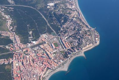
Almuñécar, Mediterranean coastal municipality in Granada Province, Spain
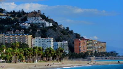
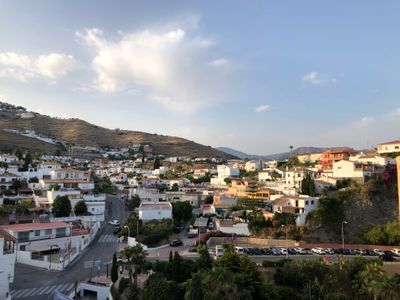
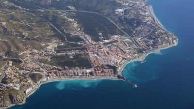
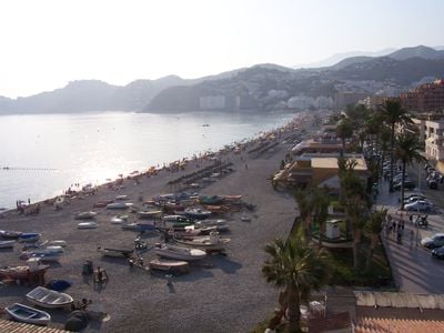
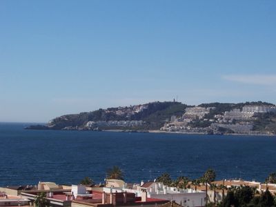
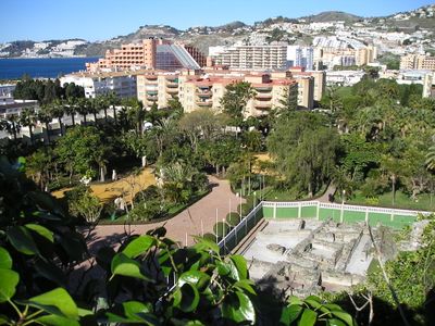
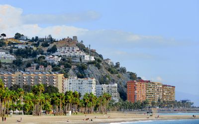
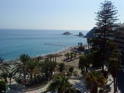
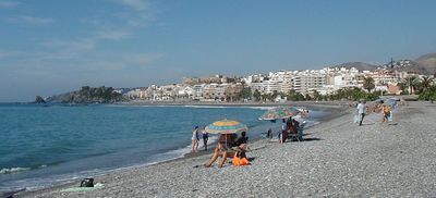
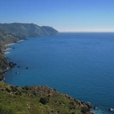
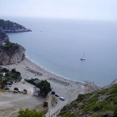
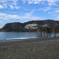
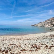
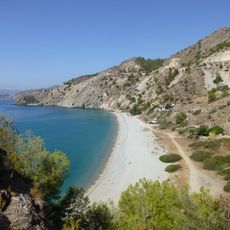
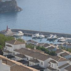
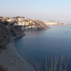
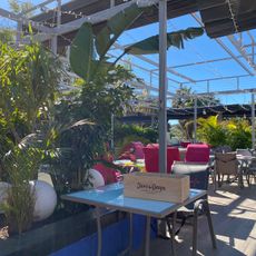
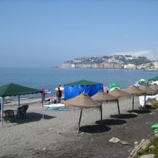
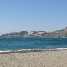
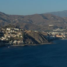
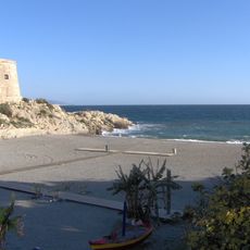
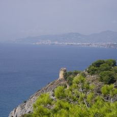
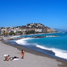
Almuñécar is a municipality in Granada Province on the Mediterranean coast, spreading across several population centers including La Herradura, Velilla-Taramay and Torrecuevas. The settlements sit between hills and beaches, with the main town featuring an old core of narrow streets and newer neighborhoods close to the shore.
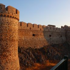
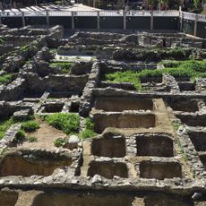
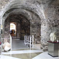
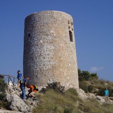
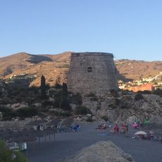
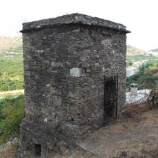
Phoenician traders founded the settlement around 800 BC under the name Sexi, which developed into a major port with fish processing installations. Control shifted over centuries from Romans to Moors and finally to the Castilian crown in the 15th century.
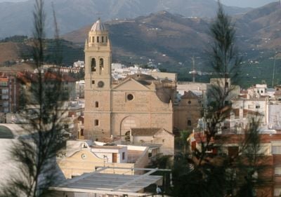
The name derives from the Arabic Ḥiṣn al-Munakkab, recalling the centuries when the settlement grew under Moorish rule as a trading center. Locals gather in the narrow streets and small squares of the old quarter, sitting on benches in the shade and talking with neighbors throughout the day.
The coastal highway A7 runs through the municipality and connects all the settlements. Buses run regularly between the main town and surrounding centers as well as to airports in Granada and Málaga.
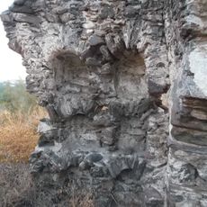
Remains of a Roman aqueduct from the 1st century AD stand along streets and hillsides, showing the engineering used to carry water over several kilometers. The arches rise in places right between houses and gardens in residential areas.
Location: Province of Granada
Capital city: Almuñécar
Elevation above the sea: 24 m
Part of: distrito notarial de Motril, Mancomunidad de Municipios de la Costa Tropical de Granada, Granadin Coast
Shares border with: Ítrabo, Otívar, Salobreña, Jete, Nerja
Address: 18690 Almuñécar, Granada, Spain
Website: http://almunecar.es
GPS coordinates: 36.73389,-3.69111
Latest update: December 13, 2025 19:14
Sexi
697 m
Acantilados de Maro-Cerro Gordo
8.2 km
Aquatropic
1.5 km
San Miguel Castle
384 m
Playa de Cantarriján
7.6 km
Playa de la Herradura, Almuñécar
4.5 km
Ancient romano aqueduct of Sexi
273 m
La Cala el Cañuelo Beach
8.8 km
Cala del Cañuelo
8.8 km
Marina del Este
3.2 km
El Majuelo
334 m
Castillo de la Herradura
5.1 km
Cueva de Sietepalacios
170 m
Playa El Muerto
2.7 km
Calabajío
3.4 km
Playa de Cabria, Almuñécar
3.7 km
Torre del Diablo
4.1 km
Peñones de San Cristóbal
704 m
Columbario de Antoniano Rufo
2 km
Torre de Cerro Gordo
6.8 km
Torre de Taramay
2.8 km
Playa de Velilla
2 km
Columbario romano Torre del Monje
2.2 km
Cotobro
2 km
Playa de Tesorillo, Almuñécar
2.7 km
Torre de la Caleta
8.4 km
Playa de Puerta del Mar, Almuñécar
521 mFaro de Punta de la Mona
3.8 kmVisited this place? Tap the stars to rate it and share your experience / photos with the community! Try now! You can cancel it anytime.
Discover hidden gems everywhere you go!
From secret cafés to breathtaking viewpoints, skip the crowded tourist spots and find places that match your style. Our app makes it easy with voice search, smart filtering, route optimization, and insider tips from travelers worldwide. Download now for the complete mobile experience.
A unique approach to discovering new places❞
— Le Figaro
All the places worth exploring❞
— France Info
A tailor-made excursion in just a few clicks❞
— 20 Minutes