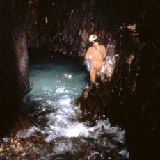
Bulnes, Mountain village in Cabrales, Spain
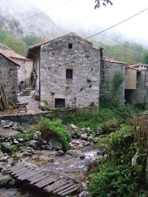
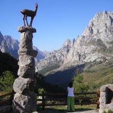
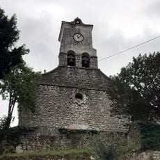
Bulnes is a mountain village in the Picos de Europa range divided into two sections, Bulnes de Arriba and Bulnes de Abajo, situated at approximately 649 meters elevation. The two areas are connected by stone pathways and together form a compact settlement of traditional stone buildings.
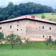
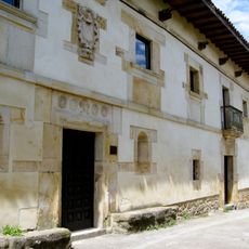
The village originated from a shepherd community that initially used temporary shelters before constructing permanent stone houses. This shift from transient dwellings to fixed structures reflects how the mountain region was gradually settled over time.
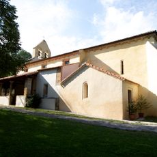
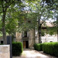
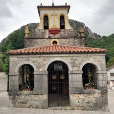
The village retains its character through traditional stone architecture with steep roofs and narrow pathways that fit naturally into the mountain slopes. Residents maintain everyday practices rooted in mountain life, using these spaces as they have for generations.
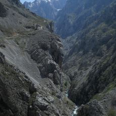
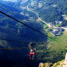
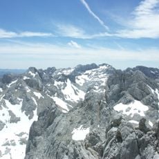
You can reach the village by hiking a four-kilometer trail from Poncebos or by taking a seven-minute funicular that runs throughout the day. The hiking route offers steady mountain views, while the funicular provides a faster alternative for those with limited time or mobility concerns.
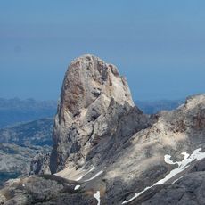
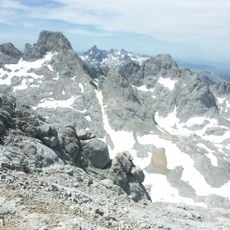
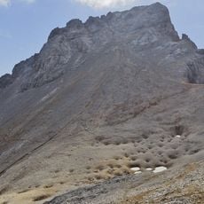
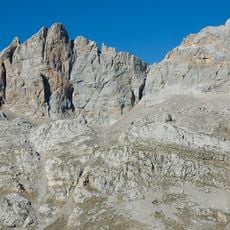
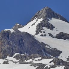
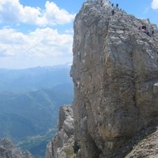
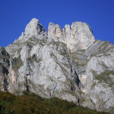
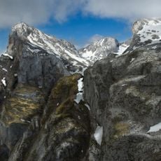
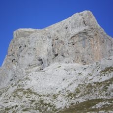
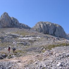
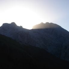
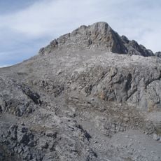
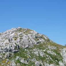
The village serves as a starting point for climbers attempting the nearby Naranjo de Bulnes, a striking limestone peak known for demanding climbing routes. This peak attracts experienced mountaineers from around the world.
The community of curious travelers
AroundUs brings together thousands of curated places, local tips, and hidden gems, enriched daily by 60,000 contributors worldwide.