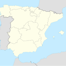
Sierras de Cazorla, Segura y Las Villas Natural Park, Natural park and biosphere reserve in Jaén Province, Spain.
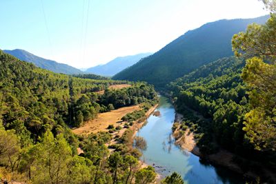
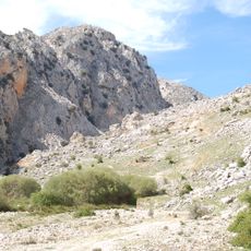
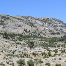
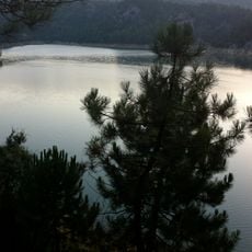
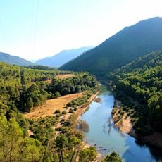
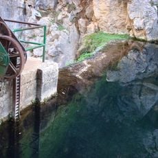
The park covers a large mountainous area with limestone cliffs, coniferous forests, and deep river canyons throughout its terrain. Two major rivers begin their journeys here, carving through valleys and creating waterfalls as they descend from higher elevations.
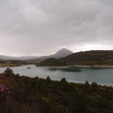
Protection efforts began in 1960 with the creation of a national reserve in the southern section, which later expanded. This initial action marked the start of modern conservation for one of southern Spain's most important natural landscapes.
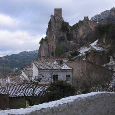
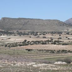
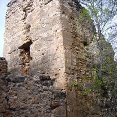
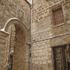
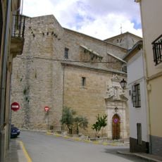
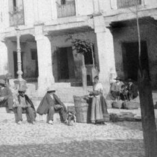
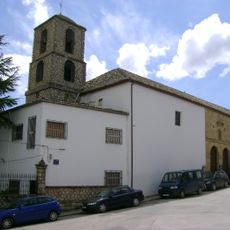
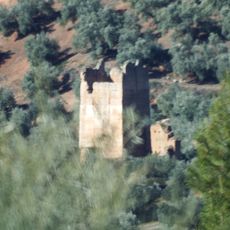
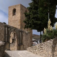
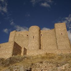
The region served as a grazing land and farming territory for centuries, shaping how people used the mountains. Visitors still encounter traditional stone structures and old pathways that reflect this long relationship with the landscape.
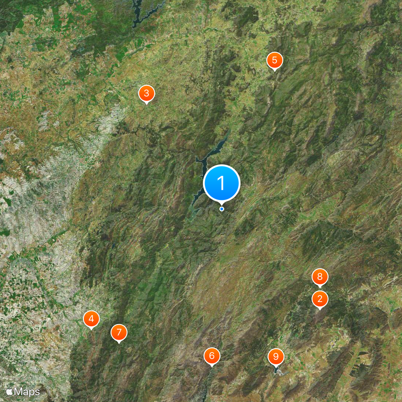
The park has multiple access points from surrounding towns, with visitor centers offering maps and guidance for exploring the area. Elevation changes are significant, ranging from lower valleys to peaks above 2000 meters, so plan hikes according to your fitness level.
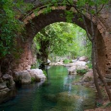
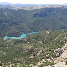
Two of Spain's largest rivers, the Guadalquivir and the Segura, begin their long journeys to the sea from within the park. This geographic feature makes the park one of the few places where visitors can witness the birth of major river systems.
The community of curious travelers
AroundUs brings together thousands of curated places, local tips, and hidden gems, enriched daily by 60,000 contributors worldwide.