Enable Location

We need your location to show you interesting places around you

Discover nearby places

Find interesting locations and hidden gems around you

Precise directions

Get accurate directions and distances to places

Your location is never shared with other users. It's only used when you tap the location button.

Moncloa-Aravaca

Log in to your account

Start exploring — it's free

Trusted by 62,829 travelers worldwide

Continue with Google
Continue with Apple
or

We will send you a code to connect

By continuing, you accept our Terms and Conditions and our Privacy Policy

Check your inbox

We've sent a pincode in your inbox. Please enter the code below.

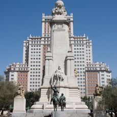
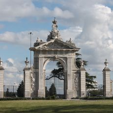
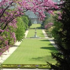
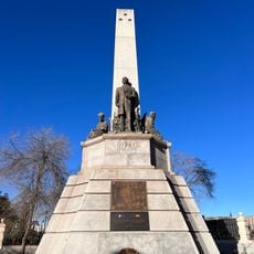
Moncloa-Aravaca, Administrative district in northwest Madrid, Spain.

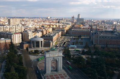
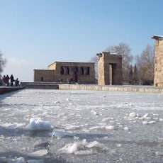
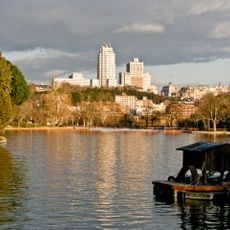
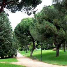
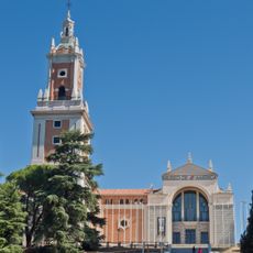
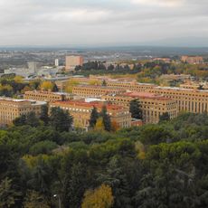
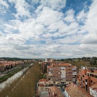
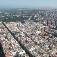
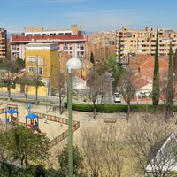
Moncloa-Aravaca is an administrative district in northwest Madrid that includes major university campuses and extensive green spaces. The area spreads across several neighborhoods with a mix of residential districts, academic institutions, and parks.

The district came together from several originally separate towns that were gradually incorporated into Madrid's administrative structure. This merger transformed the region from predominantly rural character into a permanent part of the modern city.

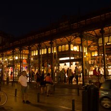
The university presence fills the streets with students and shapes how people spend their time here. Bookshops, cafes, and gathering spaces around the campus show how academic life weaves into the daily rhythm of the area.

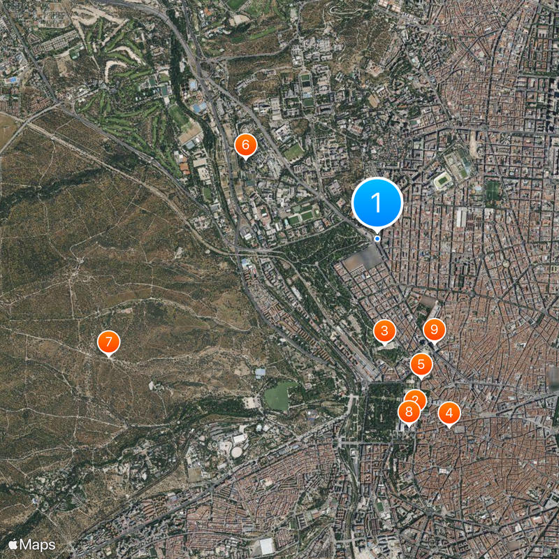
The area connects to central Madrid through various metro stations, bus routes, and main roads. The different neighborhoods allow for multiple ways to explore depending on where you are or what you want to visit.

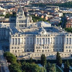
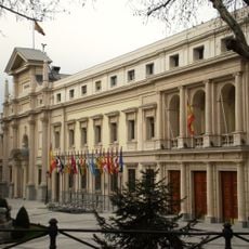
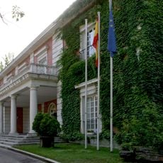
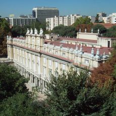
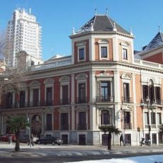
The Palace of Moncloa is located in this area and serves as the official residence and workplace of Spain's Prime Minister. While not open to the public, this building gives the district particular political significance.

The community of curious travelers

AroundUs brings together thousands of curated places, local tips, and hidden gems, enriched daily by 60,000 contributors worldwide.

Start exploring
Location
Inception
July 1, 1988
Elevation above the sea
666 m
Shares border with
Centro, Chamberí, Fuencarral-El Pardo, Latina, Tetuán, Pozuelo de Alarcón, Majadahonda, Las Rozas de Madrid
GPS coordinates
40.43515,-3.71876
Latest update
December 20, 2025 15:16
« Moncloa-Aravaca - Administrative district in northwest Madrid, Spain » is provided by Around Us (aroundus.com). Images and texts are derived from Wikimedia project under a Creative Commons license. You are allowed to copy, distribute, and modify copies of this page, under the conditions set by the license, as long as this note is clearly visible.

Discover hidden gems everywhere you go!

From secret cafés to breathtaking viewpoints, skip the crowded tourist spots and find places that match your style. Our app makes it easy with voice search, smart filtering, route optimization, and insider tips from travelers worldwide. Download now for the complete mobile experience.

Around Us App Screenshot

A unique approach to discovering new places

Le Figaro

All the places worth exploring

France Info

A tailor-made excursion in just a few clicks

20 Minutes

Around Us
Travel Guide & Maps
Download

Send to your phone

QR Code
1

Open the camera app on your mobile.

2

Point at the QR code with your camera. A notification will appear.

3

Tap the notification to open the link.