Enable Location

We need your location to show you interesting places around you

Discover nearby places

Find interesting locations and hidden gems around you

Precise directions

Get accurate directions and distances to places

Your location is never shared with other users. It's only used when you tap the location button.

GR 58

Log in to your account

Start exploring — it's free

Trusted by 62,936 travelers worldwide

Continue with Google
Continue with Apple
or

We will send you a code to connect

By continuing, you accept our Terms and Conditions and our Privacy Policy

Check your inbox

We've sent a pincode in your inbox. Please enter the code below.

GR 58
Discussion Reviews 1 Photos
1.6k Popularity

GR 58

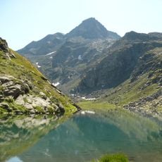
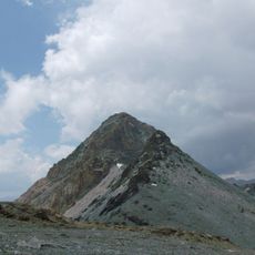
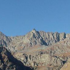
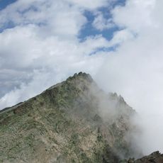
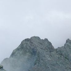
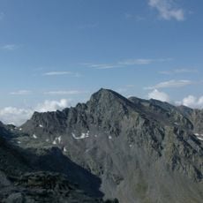
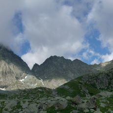
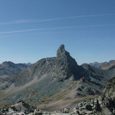
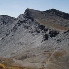
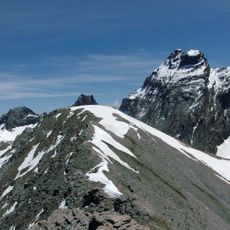
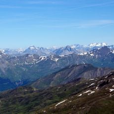
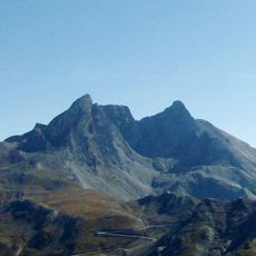
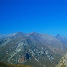
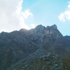
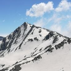
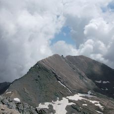
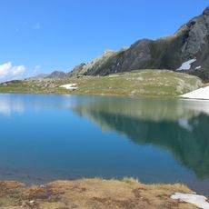
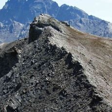
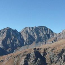
The GR 58, also known as the Tour du Queyras, is a walking trail in the Hautes-Alpes that covers about 130 kilometers through the protected Queyras region. The route crosses varied landscapes with deep gorges, sunny meadows, larch forests, and high mountain passes, with peaks reaching nearly 2900 meters.

The route follows old paths used for centuries by travelers, merchants, and settlers crossing the mountains and seeking new lands. The modern trail was established in 1971 and has grown with several variations to better open the region to visitors.

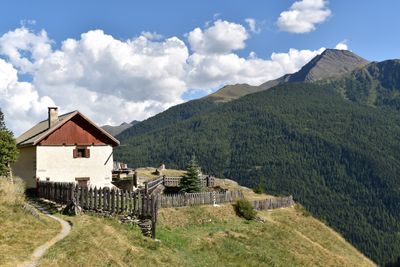
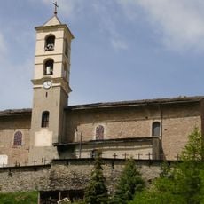
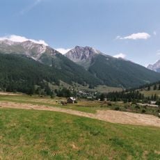
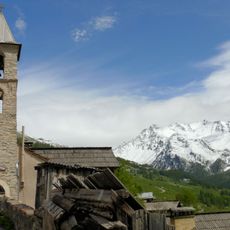
The route passes through mountain villages like Saint-Véran, where homes built from wood and stone reflect generations of local building tradition and ways of life. These settlements carry traces of the medieval Escartons, a form of self-governance that shaped the region, visible in the old structures and continuing community practices.

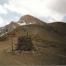
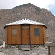
The trail is clearly marked with white and red signs and topographic guides are available to help with navigation and highlight interesting locations. Sturdy footwear, plenty of water, and a map are essential, and it is best to walk the route between June and September when higher elevations are snow-free.

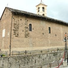
Saint-Véran, which sits along this route, is considered the highest municipality in Europe and offers a rare chance to walk in one of the continent's highest permanently inhabited settlements. The village retains an authentic alpine feel with its 17th-century church and narrow lanes winding up and down the hillside.

The community of curious travelers

AroundUs brings together thousands of curated places, local tips, and hidden gems, enriched daily by 60,000 contributors worldwide.

Start exploring
Location
GPS coordinates
44.68120,6.96780
Latest update
February 9, 2026 08:19
Reviews
Share your experience

No review yet

Discussions
Start a discussion...

No discussion yet

« GR 58 » is provided by Around Us (aroundus.com). Images and texts are derived from Wikimedia project under a Creative Commons license. You are allowed to copy, distribute, and modify copies of this page, under the conditions set by the license, as long as this note is clearly visible.

Discover hidden gems everywhere you go!

From secret cafés to breathtaking viewpoints, skip the crowded tourist spots and find places that match your style. Our app makes it easy with voice search, smart filtering, route optimization, and insider tips from travelers worldwide. Download now for the complete mobile experience.

Around Us App Screenshot

A unique approach to discovering new places

Le Figaro

All the places worth exploring

France Info

A tailor-made excursion in just a few clicks

20 Minutes

Around Us
Travel Guide & Maps
Download

Send to your phone

QR Code
1

Open the camera app on your mobile.

2

Point at the QR code with your camera. A notification will appear.

3

Tap the notification to open the link.