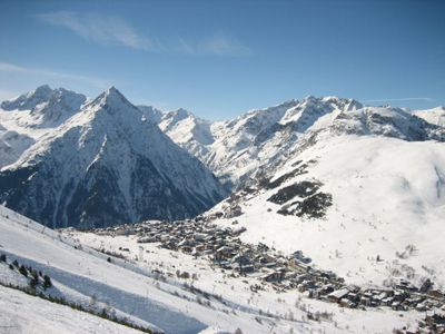
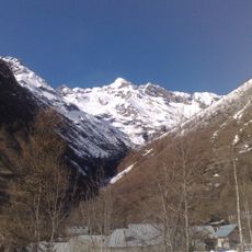
Les Deux Alpes, Mountain resort commune at 1655 meters in Isère, France.
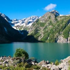
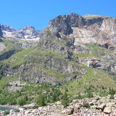
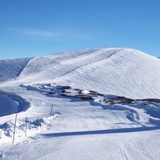
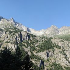
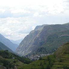
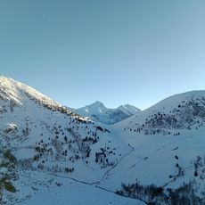
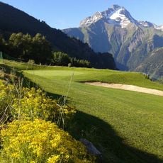
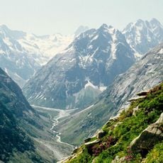
Les Deux Alpes is a mountain resort commune situated on steep Alpine slopes and spread across different elevation zones. The area offers ski runs in winter, walking routes in summer, and housing for both year-round residents and seasonal visitors.
The area transformed from agricultural land into a contemporary ski resort and became an independent commune in 2017. This shift ended a long period of high-altitude farming and marked the beginning of its current role as a leisure destination.
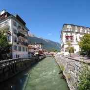
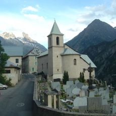
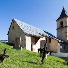
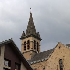
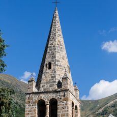
The commune expresses Alpine life through seasonal celebrations and mountain cuisine that visitors encounter in local eateries and community gatherings. Building styles reveal practical adaptations to high-altitude living, with sturdy stone structures and wide-angled roofs designed to shed heavy snow.
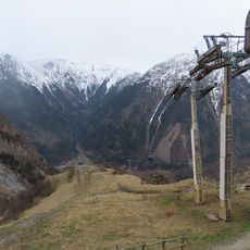
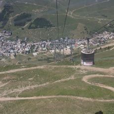
Visitors can access roughly 47 ski lifts linking different elevation points to suit various skill levels. Direct transport from Grenoble airport and railway station makes arrival straightforward, and shuttle buses run between different zones.
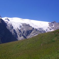
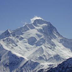
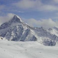
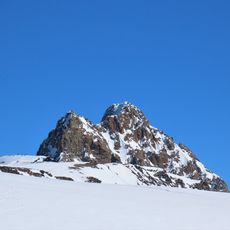
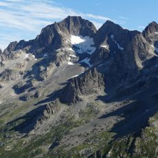
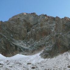
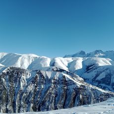
The glacier area reaches roughly 3600 meters elevation and allows winter sports during summer months on natural snow cover. This feature makes the place one of the few locations where skiing and snowboarding remain possible in July and August.
Location: Isère
Location: arrondissement of Grenoble
Inception: January 1, 2017
Elevation above the sea: 1,655 m
Shares border with: Le Bourg-d'Oisans, Mizoën, Auris, Le Freney-d'Oisans, La Grave, Saint-Christophe-en-Oisans, Valjouffrey
Website: https://mairie2alpes.fr
GPS coordinates: 44.98944,6.11611
Latest update: December 6, 2025 17:41
Les Deux Alpes
2 km
Lac du Chambon
6.4 km
Aiguille Dibona
10.4 km
Glacier de la Girose
10.6 km
Roche de la Muzelle
6.6 km
Lauvitel
6.3 km
Le Rochail
6.8 km
Glacier de Mont-de-Lans
8 km
Aiguille du Plat de la Selle
8.9 km
Gorges de l'Infernet
6.1 km
Pic de la Grave
10.9 km
Réserve naturelle nationale de la haute vallée du Béranger
10.2 km
Aiguille des Arias
11.4 km
Télécabine de Venosc
206 m
Porte romaine de Bons
5.3 km
Tête de Lauranoure
7.6 km
Tête du Rouget
12.2 km
Combe de Malaval
11.6 km
Bowling Le Strike
1.7 km
Scenic viewpoint
11.2 km
Scenic viewpoint
10.7 km
Église Saint-Christophe de Saint-Christophe-en-Oisans
5.9 km
Église Notre-Dame-de-l'Assomption de Villard-Notre-Dame
6.7 km
Église Saint-Jacques-et-Saint-Christophe de Mizoën
7 km
Golf des Deux Alpes
1.9 km
Église Saint-Arey du Freney-d'Oisans
6.2 km
Téléphérique Jandri Express
2.4 km
Vallée du Vénéon
10 kmVisited this place? Tap the stars to rate it and share your experience / photos with the community! Try now! You can cancel it anytime.
Discover hidden gems everywhere you go!
From secret cafés to breathtaking viewpoints, skip the crowded tourist spots and find places that match your style. Our app makes it easy with voice search, smart filtering, route optimization, and insider tips from travelers worldwide. Download now for the complete mobile experience.
A unique approach to discovering new places❞
— Le Figaro
All the places worth exploring❞
— France Info
A tailor-made excursion in just a few clicks❞
— 20 Minutes