Gosaba community development block, Community development block in Canning subdivision, West Bengal, India
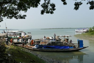
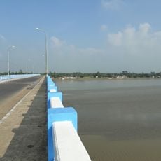
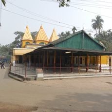
Gosaba is an administrative block in Canning subdivision that spans a large area with flat, low-lying terrain and borders extensive forest areas. The block comprises several small villages and settlements connected by waterways and rural pathways.
The block was established after India's independence as part of administrative reforms in West Bengal to structure rural governance. Creating local administrative districts helped organize the new nation more efficiently.
The local population maintains close ties to the nearby Sundarbans region and its wildlife, which shapes conversations and daily customs within the community. This bond with the natural surroundings influences how people view their place and relationship with the land.
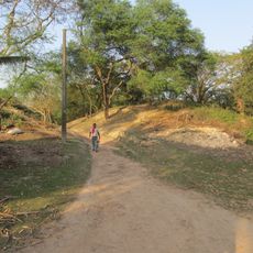
The region is mostly flat and dominated by fields and waterways, so visitors should expect wet weather and challenging path conditions. It is wise to bring comfortable shoes and weather-appropriate clothing and inquire locally about current trail conditions.
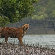
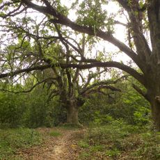
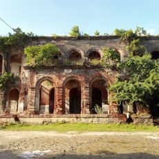
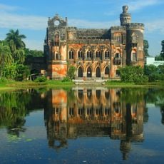
The proximity to the Sundarbans mangrove forests makes the block an important transition zone between farmland and wild forest, where tigers and other wildlife occasionally wander into inhabited areas. This creates a unique coexistence between human settlements and untamed nature that is uncommon in West Bengal.
The community of curious travelers
AroundUs brings together thousands of curated places, local tips, and hidden gems, enriched daily by 60,000 contributors worldwide.