Log in to your account

AroundUs is a community-driven map of interesting places, built by curious explorers like you. It grows with every review, story, and photo you share.
Connect to save your favorite spots, contribute locations, and create personalized routes.
Continue with Google
Continue with Apple
Continue with X
Continue with Facebook
Continue with email
By continuing, you accept our Terms and Conditions and our Privacy Policy
Create an account

Rampurhat I community development block

Add to collection
Map
Suggest a change
Share

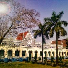
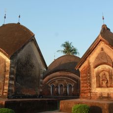
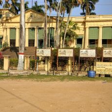
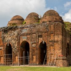
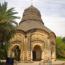
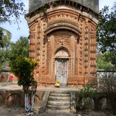
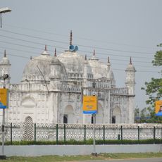
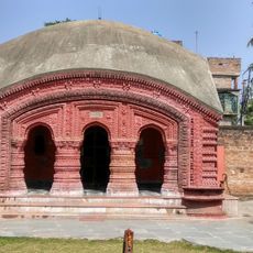
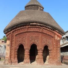
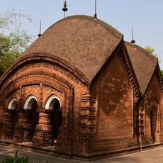
Rampurhat I community development block, Administrative block in Rampurhat subdivision, India.

Rampurhat I is an administrative unit in the Brahmani-Mayurakshi Basin of West Bengal with roughly 116 inhabited villages spread across about 181 square kilometers (70 square miles). The block includes numerous schools and healthcare facilities serving a population of about 188,000 people.

This administrative block was created after India's independence during the systematic reorganization of regional administration. It became part of Birbhum district and formed a framework for development across West Bengal.

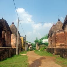
The villages here are where people speak Bengali, Santali, and Khortha, and where Bengali festivals like Durga Puja and Pohela Boishakh shape the rhythm of the year. These celebrations bring communities together and reflect their connection to the land and seasons.

The area is well equipped with schools at various levels, including primary, middle, and higher secondary institutions for children's education. Different healthcare facilities are located throughout the block to serve the local population's medical needs.

Agriculture shapes this region profoundly, with nearly half the workforce serving as agricultural laborers and many others working as small-scale farmers on the land. This farming focus shapes daily life and work rhythms across the villages.

Location: Rampurhat subdivision

Shares border with: Rampurhat II community development block, Mayureswar I community development block, Mohammad Bazar community development block, Nalhati I community development block

GPS coordinates: 24.18606,87.78194

Latest update: December 10, 2025 20:05

Photos
Reviews

Visited this place? Tap the stars to rate it and share your experience / photos with the community! Try now! You can cancel it anytime.

« Rampurhat I community development block - Administrative block in Rampurhat subdivision, India » is provided by Around Us (aroundus.com). Images and texts are derived from Wikimedia project under a Creative Commons license. You are allowed to copy, distribute, and modify copies of this page, under the conditions set by the license, as long as this note is clearly visible.

Discover hidden gems everywhere you go!

From secret cafés to breathtaking viewpoints, skip the crowded tourist spots and find places that match your style. Our app makes it easy with voice search, smart filtering, route optimization, and insider tips from travelers worldwide. Download now for the complete mobile experience.

Around Us App Screenshot

A unique approach to discovering new places

Le Figaro

All the places worth exploring

France Info

A tailor-made excursion in just a few clicks

20 Minutes