Nagaon, Administrative center in Assam, India
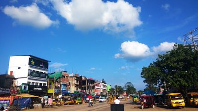
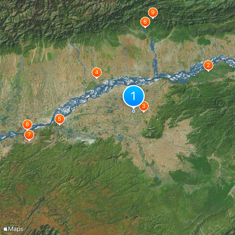
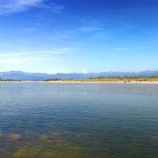
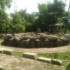
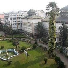
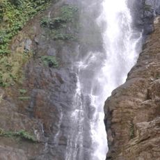
Nagaon is a city in Assam that spreads across a large area with rivers, hills, and valleys, with the Kolong River dividing the land into two sections. The landscape is shaped by waterways and hilly terrain that shape how the city is laid out and how it functions.
The city began in 1832 when British administrators created a municipal board to manage the growing settlement in eastern Assam. This administrative foundation shaped how the place developed into what it is today.
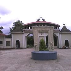
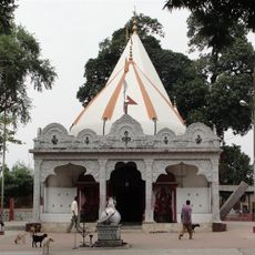
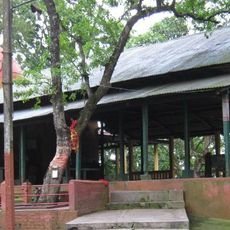
The city brings together people of different faiths who share daily life in the same communities and speak Assamese as their common language. You can see this diversity in the markets, prayer spaces, and neighborhoods where different traditions coexist naturally.
The city has two railway stations offering connections to major destinations, and regular bus services link it to nearby towns and cities. Getting around is straightforward thanks to these public transport options.
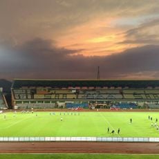
The Nurul Amin Stadium hosts regional sports events and serves as the main venue for an annual football tournament held during Independence Day celebrations. This sports ground is where you can see the city's sports culture come alive.
The community of curious travelers
AroundUs brings together thousands of curated places, local tips, and hidden gems, enriched daily by 60,000 contributors worldwide.