
Yemmiganur mandal, mandal in Kurnool district of Andhra Pradesh, India
Location: Kurnool district
Capital city: Yemmiganuru
GPS coordinates: 15.76800,77.48200
Latest update: April 14, 2025 05:49
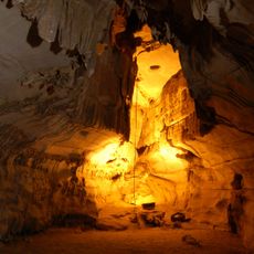
Belum Caves
100.3 km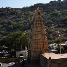
Yaganti Temple
84.4 km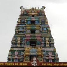
Alampur Jogulamba Temple
70.7 km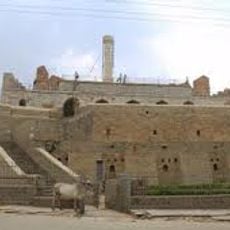
Konda Reddy Fort
61.1 km
Chowdeshwari Temple at Nandavaram
96.2 km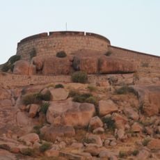
Bellary Fort
92.3 km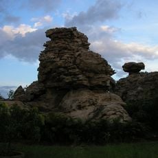
Orvakal Rock Garden, Kurnool
72.3 km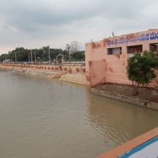
K. C. Canal
39.3 km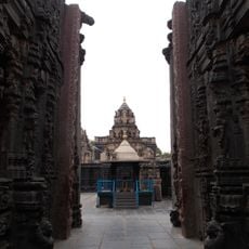
Bugga Ramalingeswara temple
110.2 km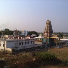
Beechupally
64.8 km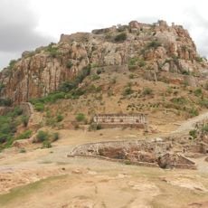
Gooty Fort
73.9 km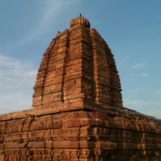
Alampur Navabrahma Temples
70.3 km
Hirebenkal
116 km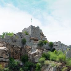
Raichur Fort
49.6 km
Chintala Venkataramana Temple, Tadipatri
111 km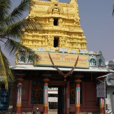
Kanakachalapathi Temple, Kanakagiri
118.5 km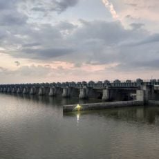
Sunkesula Barrage
39.3 km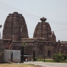
Alampur Papanasi Temples
69.5 km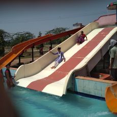
Aqua Fun
96.5 km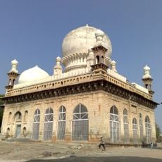
Abdul Wahab Khan's Tomb
60.8 km
Yaganti Caves
84.4 km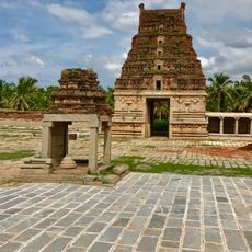
Pattabhirama Temple
118.9 km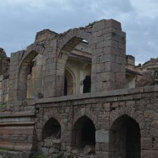
Adoni Fort
26.1 km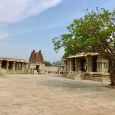
Vitthala Temple, Hampi
117.9 km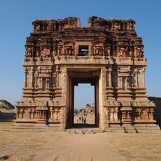
Achyutaraya temple
118.9 km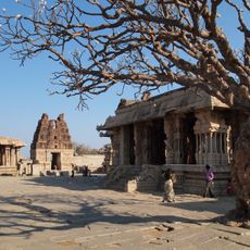
Vijaya Vithala temple
117.9 km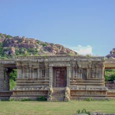
Vishnu Temple No.III facing South Gateway of Vittala Temple
117.9 km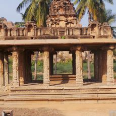
Mandapa in a Field close to Talarigattu Road
117.1 kmReviews
Visited this place? Tap the stars to rate it and share your experience / photos with the community! Try now! You can cancel it anytime.
Discover hidden gems everywhere you go!
From secret cafés to breathtaking viewpoints, skip the crowded tourist spots and find places that match your style. Our app makes it easy with voice search, smart filtering, route optimization, and insider tips from travelers worldwide. Download now for the complete mobile experience.

A unique approach to discovering new places❞
— Le Figaro
All the places worth exploring❞
— France Info
A tailor-made excursion in just a few clicks❞
— 20 Minutes