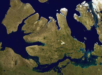
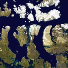
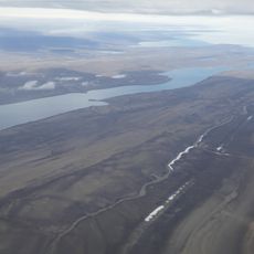
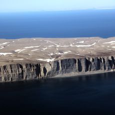
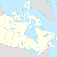
Victoria Strait, Arctic waterway in Nunavut, Canada.
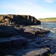
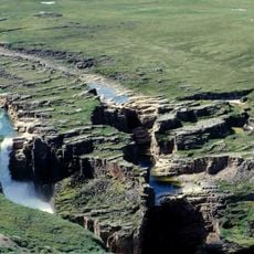
Victoria Strait is a passage between Victoria Island and King William Island spanning roughly 160 kilometers, linking Queen Maud Gulf with McClintock Channel and Franklin Strait. The waters flow through a landscape shaped by islands and strong tidal currents.
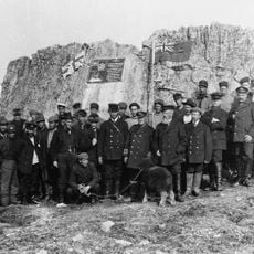
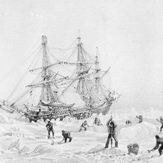
The strait came to world attention in 1848 when HMS Terror and HMS Erebus became trapped in ice during John Franklin's expedition searching for the Northwest Passage. This tragic event reshaped how explorers approached polar navigation.
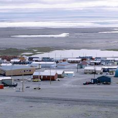
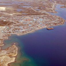
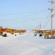
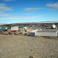
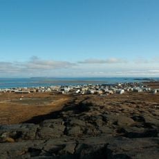
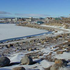
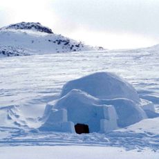
Inuit communities have hunted and traveled these waters for generations, and the strait remains central to how people here connect with the Arctic. The waterway shapes local knowledge and traditions passed down through families.
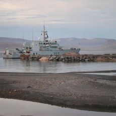
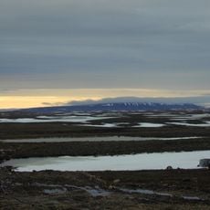
Passage through the strait is only feasible from July through September when seasonal ice breaks up enough for vessels to pass. Ships must be able to navigate shallow areas and conditions can change rapidly.
The Royal Geographical Society Islands mark the southern entrance, with some areas dropping to just 10 meters in depth. These shallow zones make navigation especially tricky and demand careful study of tidal patterns.
The community of curious travelers
AroundUs brings together thousands of curated places, local tips, and hidden gems, enriched daily by 60,000 contributors worldwide.