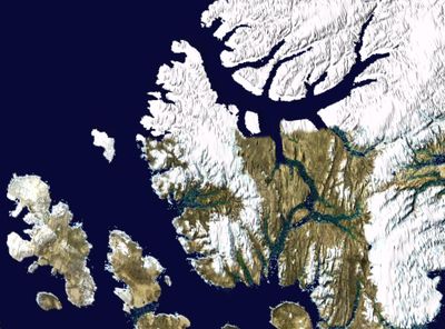
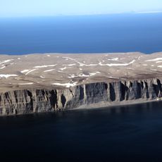
Axel Heiberg Island, Arctic island in Nunavut, Canada.
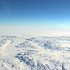
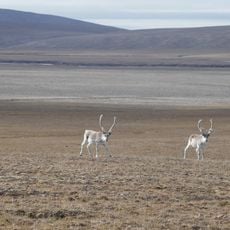
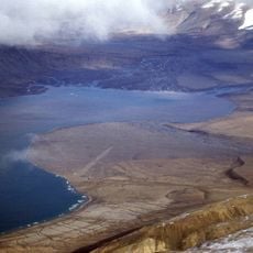
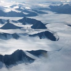
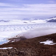
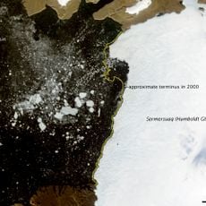
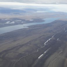
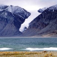
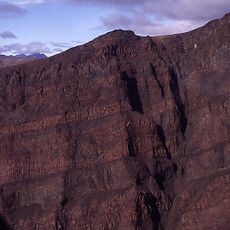
Axel Heiberg Island is an Arctic landmass in northern Nunavut characterized by mountain ranges and elevated terrain. The landscape features glaciers, rocky peaks, and frozen plains shaped by extreme polar conditions.
Norwegian explorer Otto Sverdrup documented the island in 1899 and named it after Axel Heiberg, the financial backer of the expedition sponsor. This discovery marked the first European mapping of this remote Arctic area.
The Inuit people called this land Umingmat Nunaat, showing their long connection to this territory. The name reveals how indigenous communities understood and related to their home.
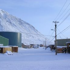
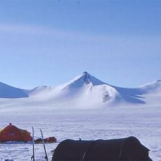
Access requires careful planning because of the remote location and severe weather conditions year-round. Visitors should prepare for extreme cold, limited daylight in certain seasons, and unpredictable conditions.
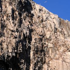
The island preserves an ancient forest ecosystem with organic material from millions of years ago. This material has survived in a condition that allows it to be used much like modern wood.
The community of curious travelers
AroundUs brings together thousands of curated places, local tips, and hidden gems, enriched daily by 60,000 contributors worldwide.