West English River Provincial Park, Provincial park in Kenora District, Canada
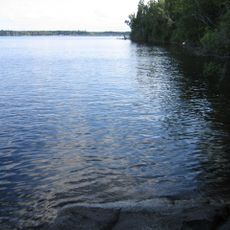
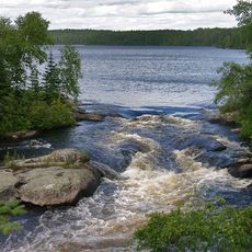
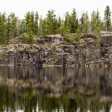
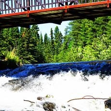
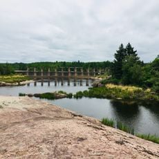
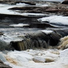
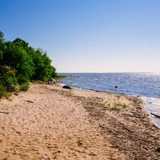
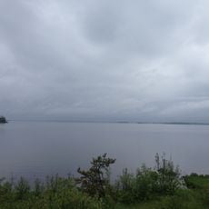
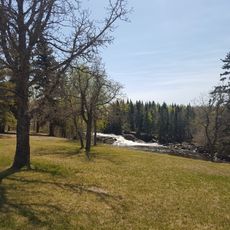
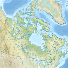
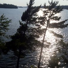
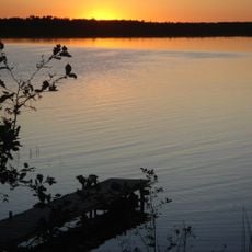
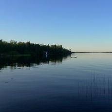
West English River Provincial Park stretches roughly 65 kilometers along the English River from Barnston Lake to Tide Lake, covering about 22,900 hectares of forest, lakes, and river sections. The land features dense woodland with scattered clearings and numerous waterways that can be accessed by canoe or on foot.
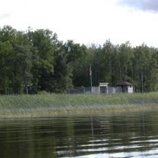
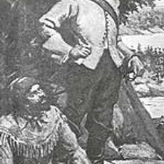
The park was officially established in 2003 and contains archaeological sites from earlier inhabitants and remnants of logging operations. A former World War II prisoner camp near Press Lake marks a significant chapter in the land's past use.
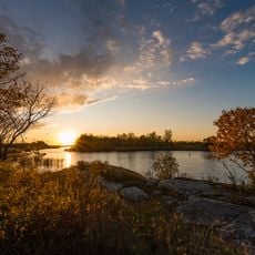
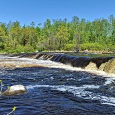
The English River served Indigenous peoples and early settlers as a vital transportation and trade route for centuries. The waterway remains central to how people move through and experience the landscape.
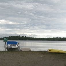
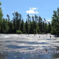
Access to the park is via Highway 599 and former logging roads that lead to camping areas and launching points for paddling. Summer and early fall offer the best conditions, when trails are dry and waterways are easiest to navigate.
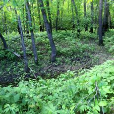
The park hosts roughly 307 vascular plant species, including northern stands of red and white pine that are uncommon for the region. Eighteen of these plant varieties are classified as provincially rare, making the forest itself a botanical point of interest.
The community of curious travelers
AroundUs brings together thousands of curated places, local tips, and hidden gems, enriched daily by 60,000 contributors worldwide.