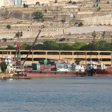
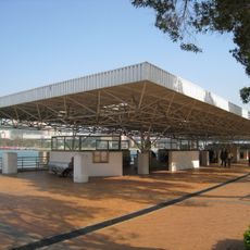
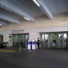
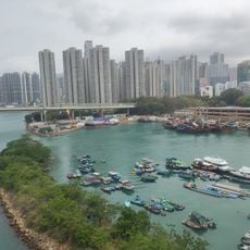
Tsuen Wan Pier, Ferry pier in Hong Kong
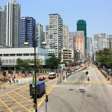
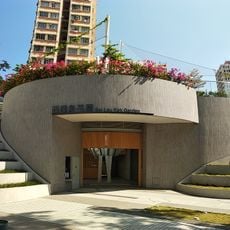
Tsuen Wan Pier is a ferry terminal in the Tsuen Wan District that functions as a transportation hub for water-based travel. Multiple ferry routes operate from this location, connecting travelers to various coastal areas and outlying islands.
The pier was developed to meet growing demand for ferry connections in the Tsuen Wan area. Over time, the facility has been upgraded to accommodate increasing passenger traffic and vessel operations.
The pier is easily accessible on foot from central Tsuen Wan and clearly marked for visitor navigation. It helps to check departure times in advance, as ferry schedules vary depending on the time of day and season.
The community of curious travelers
AroundUs brings together thousands of curated places, local tips, and hidden gems, enriched daily by 60,000 contributors worldwide.