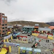
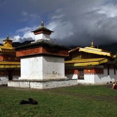
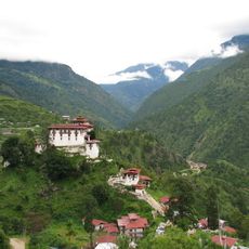
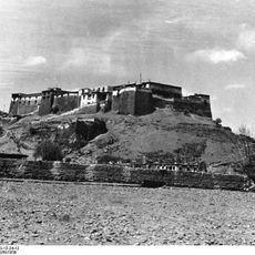
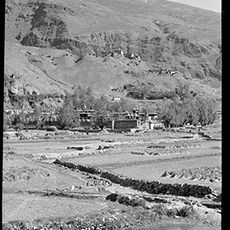
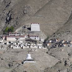
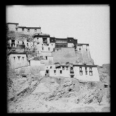
Tuiwa, village in Daglung; Nagarzê, Shannan, Tibet, China
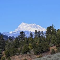
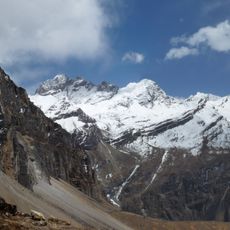
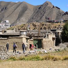
Tuiwa is a small mountain village sitting at over 5,000 meters above sea level on the Tibetan Plateau beside the turquoise Puma Yumco lake. The houses are simple stone structures with whitewashed walls and prayer flags, surrounded by snow-capped peaks, wide grasslands, and clear skies.
Tuiwa was founded over a thousand years ago and is connected to a legend about a meditating Buddha that gave the village its name meaning "connection." The settlement developed over centuries as a herding community, maintaining traditional migration patterns to adapt to extreme altitude conditions.
The name Tuiwa means "connection" in Tibetan, reflecting the community's bond with the sacred landscape. Villagers perform daily rituals like spinning prayer wheels and burning incense around the lake, showing their deep connection to spiritual practice and local tradition.
The best time to visit is between late spring and early autumn when roads are accessible and weather is milder. Visitors should allow time for acclimatization, pack warm clothing, and bring sufficient supplies, as services in this remote area are minimal.
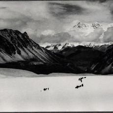
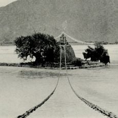
A remarkable feature is the traditional winter practice where herders drive their flocks onto the frozen lake surface and spread cow dung on the ice to create safe walking paths. This centuries-old method shows the extraordinary adaptation of residents to one of the world's most extreme environments.
The community of curious travelers
AroundUs brings together thousands of curated places, local tips, and hidden gems, enriched daily by 60,000 contributors worldwide.