Hegau, Geographic region with volcanic formations in Baden-Württemberg, Germany.
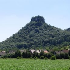
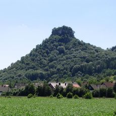
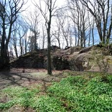
Hegau is a region in Baden-Württemberg, Germany, whose landscape is marked by nearly a dozen conical hills between 643 and 867 m high. These hills are the eroded pipes of extinct Miocene volcanoes, rising above a plain at about 400 m. The surrounding terrain is a Young Drift morainic landscape shaped by Pleistocene glaciers.
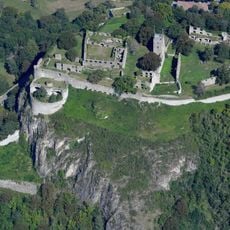
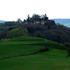
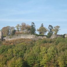
Hegau was first recorded in 787 as "in pago Egauinsse", a Gau of the Duchy of Swabia reaching from Lake Constance to the High Rhine and the Danube. Its volcanoes were active in the Miocene, about 14 million years ago; during the Riss glaciation around 150,000 years ago glaciers eroded the softer rock around the harder volcanic pipes, producing the present conical hills. Medieval fortresses were later built on several summits.
The region draws visitors who enjoy exploring the dark volcanic peaks and learning about their formation. People spend time here observing the landscape and experiencing how the terrain shapes the character of the area.
The area has marked trails and paths for visitors who want to explore the landscape on foot. It helps to wear weather-appropriate clothing and plan enough time for extended walks through the region.
The Hegau volcanoes are national geotopes of Germany, not a geopark. The conical hills are inverted relief: the soft surrounding rock was scoured away by Riss-glaciation ice about 150,000 years ago, leaving the harder volcanic pipes standing as hills.
The community of curious travelers
AroundUs brings together thousands of curated places, local tips, and hidden gems, enriched daily by 94,539 contributors worldwide.