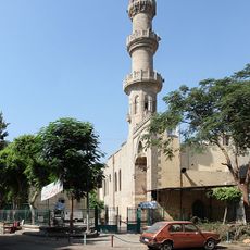
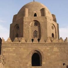
Old Cairo, Historical neighborhood in Cairo, Egypt
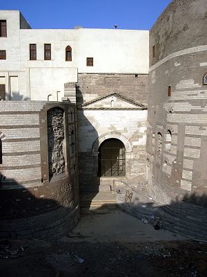
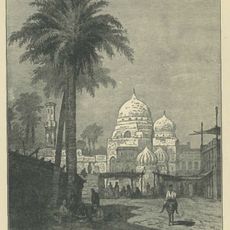
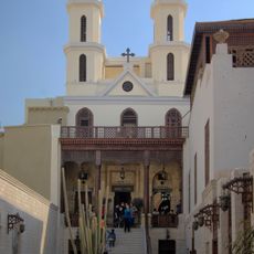
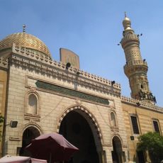
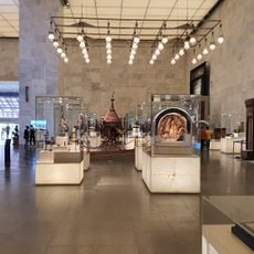
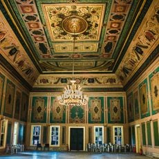
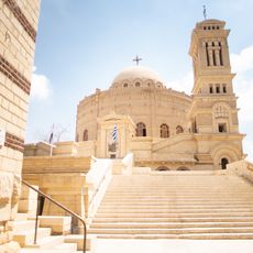
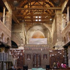
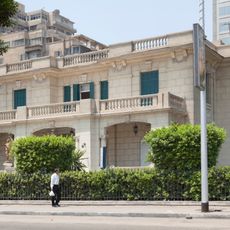
Old Cairo is a historic neighborhood along the east bank of the Nile featuring Roman ruins from ancient times, Coptic churches, and Islamic mosques that reflect different periods. The narrow streets are lined with traditional stone buildings, courtyards, and small shops where daily life unfolds much as it has for centuries.
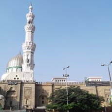
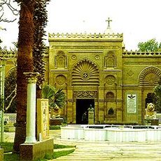
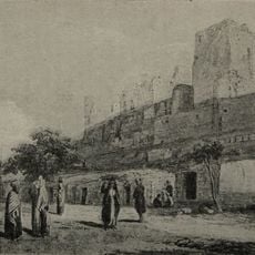
After the Arab conquest of Egypt in 641, the commander Amr ibn al-As founded Fustat near the Roman fortress, establishing the first capital of Islamic Egypt. Over time, the area accumulated layers of construction and settlement that shaped its current form.
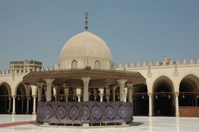
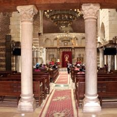
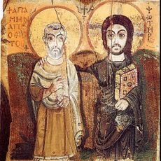
Muslims and Coptic Christians built their religious places side by side here for centuries, creating a shared neighborhood where both communities coexisted. Walking through the streets today, you see mosques and churches standing close to each other as part of the everyday fabric of the district.
Walking is the best way to explore the narrow streets and hidden corners of this district, with metro stations nearby for easy arrival. Early morning or late afternoon visits work well, as midday heat and crowds can make walking uncomfortable.
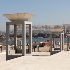
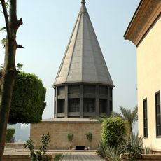
The Nilometer on Roda Island is an ancient measuring device that has tracked annual Nile floods for centuries through a marble column system. Few other medieval hydraulic instruments like this one survive in such good condition today.
The community of curious travelers
AroundUs brings together thousands of curated places, local tips, and hidden gems, enriched daily by 60,000 contributors worldwide.