Rueil-Malmaison, Historic commune in western Paris outskirts, France
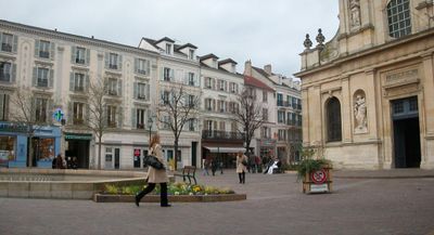
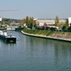
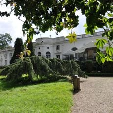
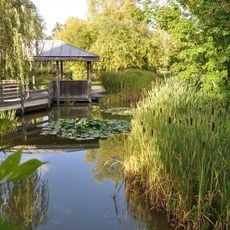
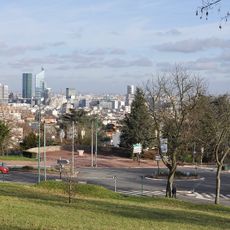
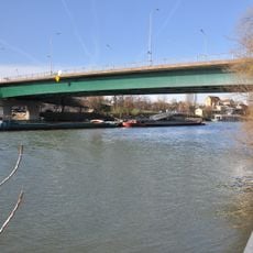
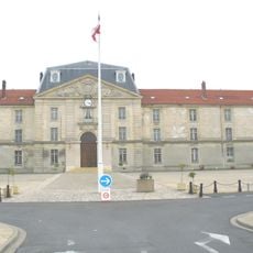
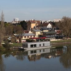
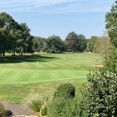
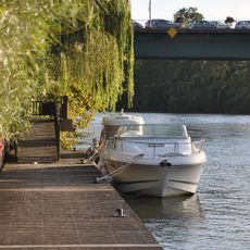
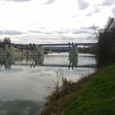
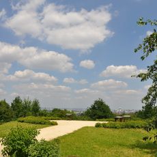
Rueil-Malmaison is a commune on the western edge of Paris that runs along a river loop of the Seine. The municipal area includes residential districts with single-family homes and small gardens, office buildings of glass and concrete, and several public parks with lawns and old trees.
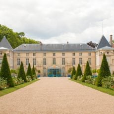
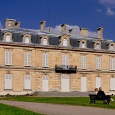
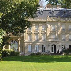
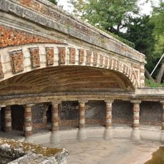
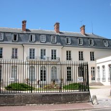
The settlement began as a medieval riverside village before becoming a country retreat for wealthy Parisian families in the 18th century. The Malmaison estate passed into the hands of Joséphine de Beauharnais in 1799, who lived there until her death in 1814 and developed its famous rose gardens.
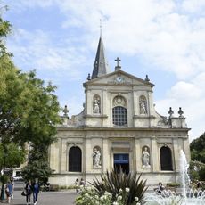
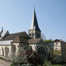
The town carries its name from the Latin word for 'tuft', which recalls the marshy riverside fields that once covered this bend of the Seine. Today the local market gathers twice a week near the church square, where vendors arrange fruit, cheese and flowers under metal awnings.
The commune is accessible through several stations on the RER A train line, which provides direct connections to central Paris. Most places within the municipal area lie within walking distance of one of the stations, and local buses link the more distant residential areas to the train stops.
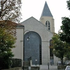
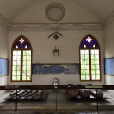
The cemetery beside the Saint-Pierre-Saint-Paul church preserves the tomb of Joséphine inside a small chapel that visitors often overlook when peering through the locked iron gate. Inside, marble angels and a recumbent figure decorate the vault, which was designed by her son.
The community of curious travelers
AroundUs brings together thousands of curated places, local tips, and hidden gems, enriched daily by 60,000 contributors worldwide.