Chest opened
+${chestReward.xp} XP
Explorer
NOUVEAU ×${chestReward.collectible.quantity}
tapez pour fermer
Chest locked

Open chests in the app

Around Us is built for your phone — chests unlock when you walk, explore and capture nearby places.

Enable Location

We need your location to show you interesting places around you

Discover nearby places

Find interesting locations and hidden gems around you

Precise directions

Get accurate directions and distances to places

Your location is never shared with other users. It's only used when you tap the location button.

Log in to your account

Start exploring — it's free

Trusted by 72,880 travelers worldwide

Continue with Google
Continue with Apple
or

We will send you a code to connect

By continuing, you accept our Terms and Conditions and our Privacy Policy

Check your inbox

We've sent a pincode in your inbox. Please enter the code below.

Col des Glières
Discussion Reviews Photo
2.5k Popularity

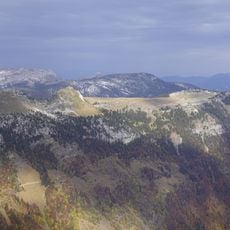
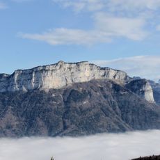
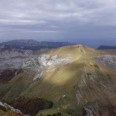
Col des Glières, Mountain pass and cycling route in Haute-Savoie, France

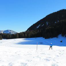
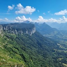
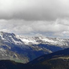
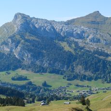
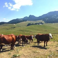
Col des Glières is a mountain pass in the French Alps accessible by a road of about 24 kilometers that reaches 1,440 meters elevation. The route winds through twelve hairpin turns and includes a gravel section on the eastern side.

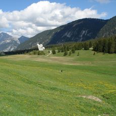
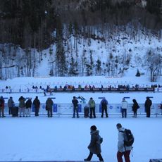
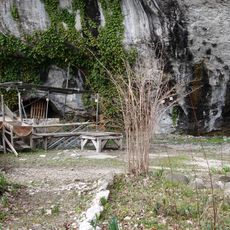
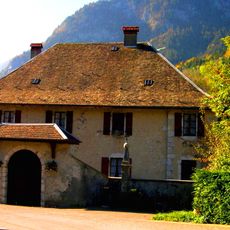
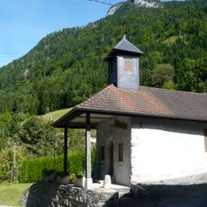
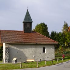
The location became the site of a decisive battle in March 1944 between French Resistance fighters and Nazi forces during World War II. This event shaped the area's local history and led to the establishment of a memorial monument.

The Monument National de la Résistance stands at the summit to commemorate the wartime events, drawing visitors who seek to understand French wartime history.

Gradients reach up to 15 percent and demand physical preparation, especially given the varying road conditions and high elevation. Visitors should expect longer travel times and be aware of changeable weather that is common at this altitude.

The location was incorporated into the Tour de France route in 2018 and is now considered one of the most demanding climbs in modern professional cycling. This recognition has made it a sought-after destination for cyclists worldwide.

The community of curious travelers

AroundUs brings together thousands of curated places, local tips, and hidden gems, enriched daily by 60,000 contributors worldwide.

Start exploring
GPS coordinates
45.96672,6.33222
Latest update
December 12, 2025 17:43
Reviews
Share your experience

No review yet

Discussions
Start a discussion...

No discussion yet

« Col des Glières - Mountain pass and cycling route in Haute-Savoie, France » is provided by Around Us (aroundus.com). Images and texts are derived from Wikimedia project under a Creative Commons license. You are allowed to copy, distribute, and modify copies of this page, under the conditions set by the license, as long as this note is clearly visible.

Discover hidden gems everywhere you go!

From secret cafés to breathtaking viewpoints, skip the crowded tourist spots and find places that match your style. Our app makes it easy with voice search, smart filtering, route optimization, and insider tips from travelers worldwide. Download now for the complete mobile experience.

Around Us App Screenshot

A unique approach to discovering new places

Le Figaro

All the places worth exploring

France Info

A tailor-made excursion in just a few clicks

20 Minutes

Around Us
Travel Guide & Maps
Download

Send to your phone

QR Code
1

Open the camera app on your mobile.

2

Point at the QR code with your camera. A notification will appear.

3

Tap the notification to open the link.