Wayanad district, District in Kerala, India
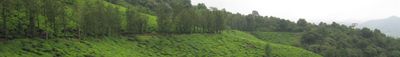
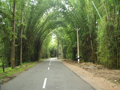
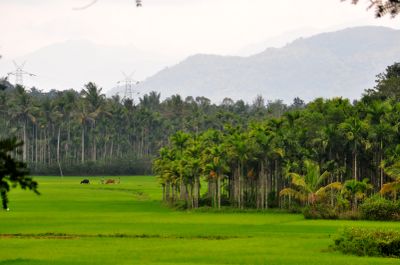
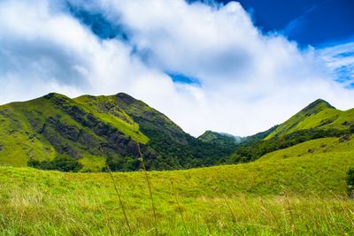
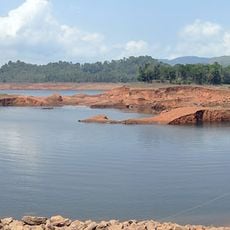
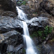
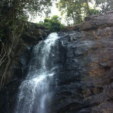
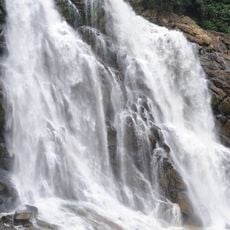
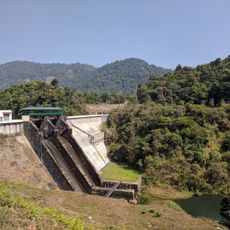
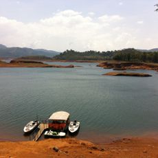
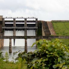
Wayanad occupies the northeastern corner of Kerala on a plateau that runs through the Western Ghats at elevations ranging from 700 to 2,100 meters. The landscape shifts between mountain forests, tea plantations, and farmland, with rivers and waterfalls cutting through the hillsides.
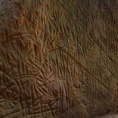
The administrative area was formed in 1980 by dividing portions of Kozhikode and Kannur districts. The Edakkal Caves hold rock carvings that show human settlement dating back roughly 6,000 years.
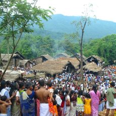
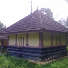
The district maintains the largest tribal population in Kerala, including the Adiyan, Paniyan, Mullukkurman, and Kurichyan communities with their distinct traditions.
Kalpetta serves as the administrative center and provides access to wildlife reserves and farming areas across the region. The elevation keeps temperatures moderate throughout the year, with monsoon rains arriving between June and September.
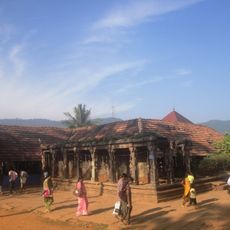
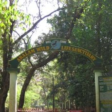
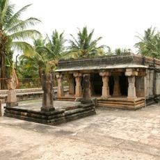
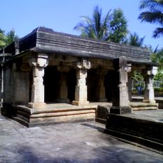
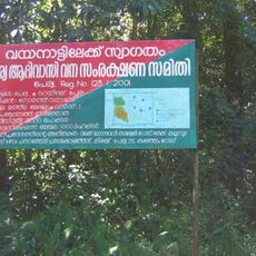
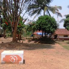
The region contains Kerala's only plateau and mirror temple, while its extensive forested area of 885 square kilometers supports numerous endangered species.
Location: Kerala
Inception: November 1, 1980
Capital city: Kalpetta
Elevation above the sea: 700 m
Shares border with: Kannur district, Kozhikode district, Nilgiris district, Chamarajanagar district, Mysuru district, Malappuram district
Website: http://wayanad.nic.in
GPS coordinates: 11.62639,76.08889
Latest update: December 4, 2025 19:00
Edakkal Caves
16 km
Wayanad Wildlife Sanctuary
30.1 km
Thirunelli Temple
33.3 km
Soochipara Falls
15 km
Thusharagiri Falls
17.8 km
Meenmutty Falls
24.8 km
Kakkayam Dam
19.9 km
Krishnagiri Stadium
11.9 km
Adyanpara Falls
32.7 km
Jain Temple, Kidanganad
18 km
Padinharathara Grama Panchayat
17.1 km
Puduppady Grama Panchayat
19.3 km
Our Lady of Lourde's Church (Pallikkunnu Church)
7.4 km
Anantnath Swami Temple
1.6 km
Purameri Grama Panchayat
35.1 km
Muttil Grama Panchayat
4.5 km
Kaniyambetta Grama Panchayat
8.3 km
Pozhuthana Grama Panchayat
11 km
Thavinhal Grama Panchayat
24.6 km
St George Shrine Pilgrim Centre Kulathuvayal
30.9 km
Kottathara Grama Panchayat
7.7 km
Mazhuvannur Maha Siva Kshethram
16 km
Thondernad Grama Panchayat
32 km
St. George Forane Church Kallody, Wayanad
20.8 km
Karassery Grama Panchayat
36.1 km
Edavaka Grama Panchayat
35.2 km
St.Jude’s Church, Chundale
6.5 km
Muppainad Grama Panchayat
14 kmReviews
Visited this place? Tap the stars to rate it and share your experience / photos with the community! Try now! You can cancel it anytime.
Discover hidden gems everywhere you go!
From secret cafés to breathtaking viewpoints, skip the crowded tourist spots and find places that match your style. Our app makes it easy with voice search, smart filtering, route optimization, and insider tips from travelers worldwide. Download now for the complete mobile experience.
A unique approach to discovering new places❞
— Le Figaro
All the places worth exploring❞
— France Info
A tailor-made excursion in just a few clicks❞
— 20 Minutes