Sant'Angelo Romano, Medieval commune in Metropolitan City of Rome, Italy
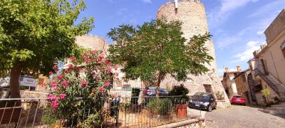
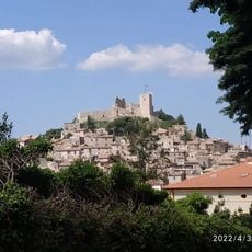
Sant'Angelo Romano is a medieval village in the Metropolitan City of Rome situated at around 400 meters above sea level, with stone buildings clustered closely together. Narrow winding streets form the heart of the settlement, connecting residential areas and the main piazza.
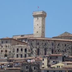
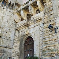
The settlement developed during the medieval period and came under the influence of the Orsini-Cesi family, who constructed a castle to dominate the area. This fortified residence became a symbol of noble power in the region during the Renaissance.
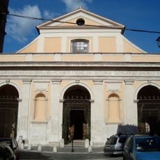
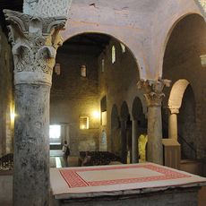
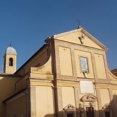
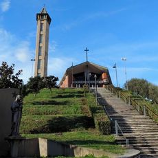
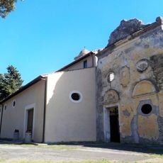
The residents, known as Santangelesi, have a strong connection to Saint Michael Archangel and Saint Liberata as their patrons. This bond shapes the religious traditions and daily customs that visitors can observe throughout the town.
The village connects to Rome via the Guidonia Montecelio train station with a journey of roughly 40 minutes to the capital. Visitors should be prepared for hilly terrain and steep medieval pathways that require steady footing.
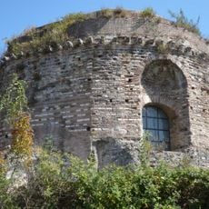
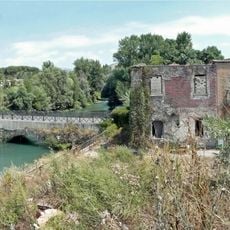
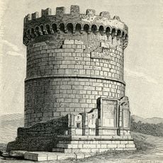
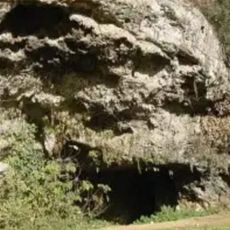
A prehistoric museum housed within the castle displays artifacts documenting the human settlement history of the Lazio region. This collection reveals how the area was inhabited long before the medieval village took shape.
Location: Metropolitan City of Rome
Capital city: Sant'Angelo Romano
Elevation above the sea: 400 m
Shares border with: Fonte Nuova, Guidonia Montecelio, Mentana, Palombara Sabina
Address: 00010 Sant'Angelo Romano, Metropolitan City of Rome Capital, Italy
Website: http://comune.santangeloromano.rm.it/hh
GPS coordinates: 42.03333,12.71667
Latest update: December 7, 2025 20:42
Marco Simone Golf and Country Club
10.4 km
Marco Simone Golf and Country Club
10.3 km
Sanctuary of Hercules Victor
10 km
Aquapiper
4.8 km
Parco naturale-archeologico dell'Inviolata
7.5 km
Temple of the Sibyl
10.2 km
Monte Zappi
8 km
Cathedral of San Lorenzo Martire
10 km
Abbey of Saint John in Argentella
3.8 km
Castello Savelli Torlonia
5.5 km
Temple of the Cough
9.9 km
Ponte Lucano
9.5 km
Riserva naturale Nomentum
5.9 km
Tomb of the Plautii
9.6 km
Santa Maria Maddalena
8.5 km
Torre Lupara
8.8 km
Grotta Polesini
9.1 km
Albulae Aquae
7.4 km
San Pietro alla Carità
10.2 km
San Giovanni Evangelista
2.6 km
Chiesa di Santa Lucia
8.2 km
Sanctuary of Hercules Victor
10 km
Villa d'Este
10.2 km
Archaeological Museum "Rodolfo Lanciani"
2.7 km
Mu.ga. Museo Mentana
6.4 km
San Francesco
4.7 km
Centrale Elettrica dell'Acquoria
9.7 km
Parco Arcobaleno (parke sa Italya, Lacio)
8.5 kmVisited this place? Tap the stars to rate it and share your experience / photos with the community! Try now! You can cancel it anytime.
Discover hidden gems everywhere you go!
From secret cafés to breathtaking viewpoints, skip the crowded tourist spots and find places that match your style. Our app makes it easy with voice search, smart filtering, route optimization, and insider tips from travelers worldwide. Download now for the complete mobile experience.
A unique approach to discovering new places❞
— Le Figaro
All the places worth exploring❞
— France Info
A tailor-made excursion in just a few clicks❞
— 20 Minutes