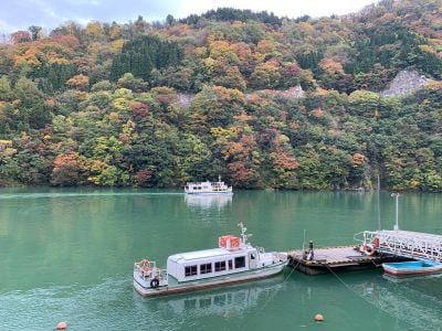
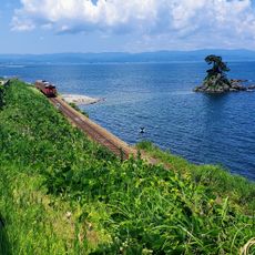
Shō River, River in Toyama and Gifu Prefectures, Japan.
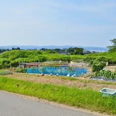
The Sho River flows northward from Mount Eboshidake through deep valleys, creating a natural boundary between Gifu and Toyama across 115 kilometers. The waterway serves irrigation for the Tonami Plain and supports rice farming while maintaining steady water levels for agriculture.
During the Muromachi period, the river joined the Oyabe River near present-day Oyabe City before shifting its course due to natural events. These changes shaped the landscape and influenced how settlements developed in the region.
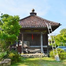
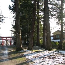
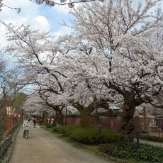
The river valley is home to Gokayama and Shirakawa-go, where traditional gassho-zukuri farmhouses show how mountain communities once lived. Local people in these villages have long relied on the water and its resources as part of their daily work and farming traditions.
The river is best accessed through surrounding roads and mountain villages, especially during warmer months when paths are passable. Visitors should know that the valleys are steep and proper footwear plus good fitness level are needed for hiking.
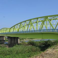
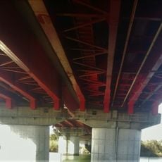
National Route 156 crosses the river seven times in a row at the prefectural border, creating an unusual zigzag pattern. These repeated river crossings show how the boundary between the two prefectures was drawn.
The community of curious travelers
AroundUs brings together thousands of curated places, local tips, and hidden gems, enriched daily by 60,000 contributors worldwide.