Enable Location

We need your location to show you interesting places around you

Discover nearby places

Find interesting locations and hidden gems around you

Precise directions

Get accurate directions and distances to places

Your location is never shared with other users. It's only used when you tap the location button.

Japan National Route 289

Log in to your account

Start exploring — it's free

Trusted by 64,603 travelers worldwide

Continue with Google
Continue with Apple
or

We will send you a code to connect

By continuing, you accept our Terms and Conditions and our Privacy Policy

Check your inbox

We've sent a pincode in your inbox. Please enter the code below.

Japan National Route 289
Discussion Reviews 1 Photos
26.8k Popularity

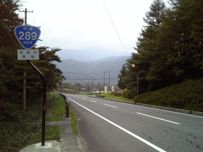
Japan National Route 289, National highway in Niigata and Fukushima, Japan

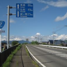
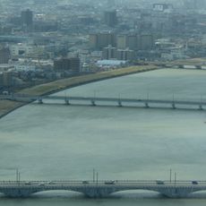
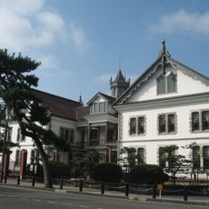
Japan National Route 289 is a national road that runs between central Niigata Prefecture on the Sea of Japan coast and the city of Iwaki in Fukushima Prefecture on the Pacific coast. The road crosses a mountainous interior, passing through steep passes and deep valleys.

The road received its official national route designation in 1999, though the planned construction timeline was severely disrupted by a major earthquake in 2004 that caused landslides along the route. Work has continued since then, but the central section remains unfinished.

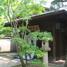
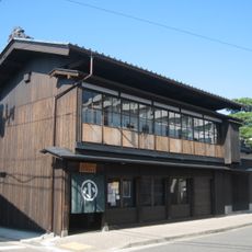
Along the route, roadside rest stops known as Michi-no-Eki sell food and goods produced by nearby mountain communities. Stopping at one gives travelers a direct sense of what people in these areas grow and make.

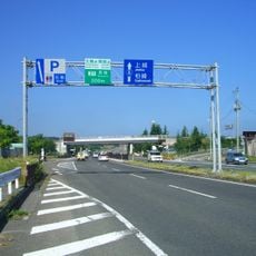
The central section of the road is still under construction, so a complete end-to-end drive is not currently possible. Mountain roads in this region can also close during winter, so checking conditions before setting out is a good idea.

Once finished, this road will be one of the few routes to cross the full width of Honshu from the Sea of Japan to the Pacific, passing entirely through mountain terrain. The area it crosses is known for some of the heaviest snowfall in Japan each winter.

The community of curious travelers

AroundUs brings together thousands of curated places, local tips, and hidden gems, enriched daily by 60,000 contributors worldwide.

Start exploring
Inception
1999
GPS coordinates
37.92156,139.04681
Latest update
March 3, 2026 10:13
Reviews
Share your experience

No review yet

Discussions
Start a discussion...

No discussion yet

« Japan National Route 289 - National highway in Niigata and Fukushima, Japan » is provided by Around Us (aroundus.com). Images and texts are derived from Wikimedia project under a Creative Commons license. You are allowed to copy, distribute, and modify copies of this page, under the conditions set by the license, as long as this note is clearly visible.

Discover hidden gems everywhere you go!

From secret cafés to breathtaking viewpoints, skip the crowded tourist spots and find places that match your style. Our app makes it easy with voice search, smart filtering, route optimization, and insider tips from travelers worldwide. Download now for the complete mobile experience.

Around Us App Screenshot

A unique approach to discovering new places

Le Figaro

All the places worth exploring

France Info

A tailor-made excursion in just a few clicks

20 Minutes

Around Us
Travel Guide & Maps
Download

Send to your phone

QR Code
1

Open the camera app on your mobile.

2

Point at the QR code with your camera. A notification will appear.

3

Tap the notification to open the link.