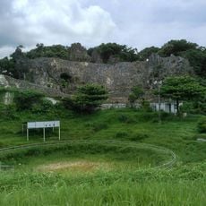
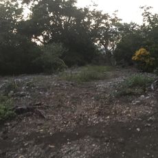
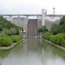
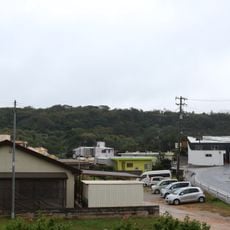
Mount Onna, Mountain summit in Onna Village, Japan
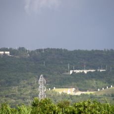
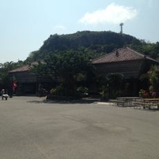
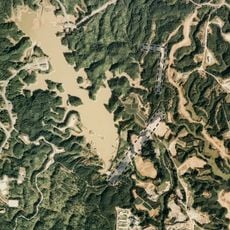
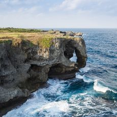
Mount Onna is a 363-metre mountain on the boundary of Onna Village and Kin Town in central Okinawa. It belongs to the Kunigami Mountains but is cut off by a fault, giving it a separate, rounded profile with gentle slopes and few valleys. Below about 150 metres, coastal terraces spread out, and on the north coast the Ryukyu limestone terrace ends in the 10-metre cliff called Manzamō.
The area around the mountain received its name during the Gusuku period, a designation that remains connected to the village today. The settlement was officially recognized as a municipality in 1908 under Japanese administration.
The mountain is called Onna-dake locally and serves as a landmark that shapes how residents understand their surrounding landscape. People in the area often refer to it when giving directions or describing locations in their daily conversations.
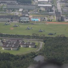
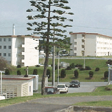
Mount Onna lies within Camp Hansen, a US military installation established in 1957, and is part of the Hansen impact area where live-fire training takes place; general access is restricted. The mountain straddles the boundary of Onna Village's Serakaki district to the north and Kin Town's Igei district to the south. The summit area is closed to the public, so the mountain is seen from outside the base.
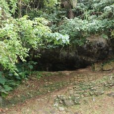
The mountain lies inside Camp Hansen, a US military base established in 1957, and within its live-fire impact zone, so the general public cannot climb it. In March 2020 a US military survey found Okinawa War remains near the summit, including an air-raid shelter and a flat area where equipment was placed, likely positions of the 2nd Home Guard Unit.
The community of curious travelers
AroundUs brings together thousands of curated places, local tips, and hidden gems, enriched daily by 93,380 contributors worldwide.