·

Enable Location

We need your location to show you interesting places around you

Discover nearby places

Find interesting locations and hidden gems around you

Precise directions

Get accurate directions and distances to places

Your location is never shared with other users. It's only used when you tap the location button.

Tairappyō Yama

Log in to your account

Start exploring — it's free

Trusted by 62,702 travelers worldwide

Continue with Google
Continue with Apple
or

We will send you a code to connect

By continuing, you accept our Terms and Conditions and our Privacy Policy

Check your inbox

We've sent a pincode in your inbox. Please enter the code below.

Tairappyō Yama

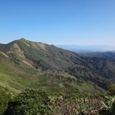
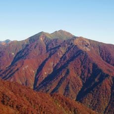
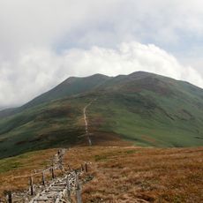
Tairappyō Yama, Mountain summit between Yuzawa and Minakami, Japan

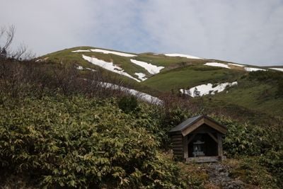
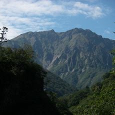
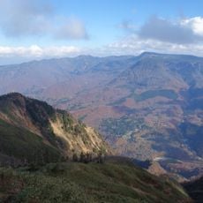
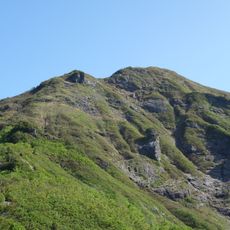
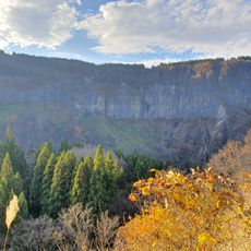
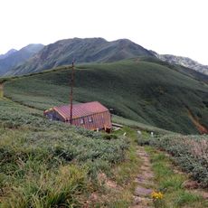
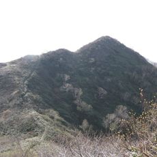
Tairappyō Yama is a 1983.8-meter mountain that straddles Niigata and Gunma Prefectures. The slopes transition from thick forest in the lower regions to high-altitude plant life near the summit.

The mountain served as a regional boundary and navigation point between different parts of Japan in earlier periods. Trade routes that crossed the area reinforced its historical role as a natural dividing line.

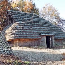
Local communities celebrate seasonal festivals near Tairappyō Yama, incorporating traditional mountain worship practices and agricultural ceremonies throughout the year.

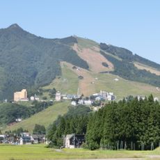
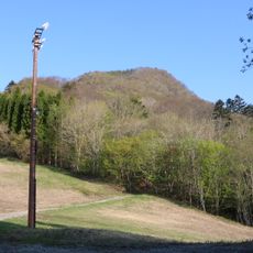
The mountain can be accessed by marked trails from either Yuzawa or Minakami, with each starting point offering different difficulty levels. Winter climbs require special equipment because the region receives heavy snowfall during those months.

The mountain appears on two notable lists for hikers: the Echigo 100 Mountains and the 100 Famous Gunma Mountains. This dual recognition makes it especially sought after by those who collect summit badges.

The community of curious travelers

AroundUs brings together thousands of curated places, local tips, and hidden gems, enriched daily by 60,000 contributors worldwide.

Start exploring
Location
Location
Location
Elevation above the sea
1,983.8 m
Part of
100 Famous Gunma Mountains, Echigo 100 Mountains
GPS coordinates
36.81785,138.82189
Latest update
December 10, 2025 16:23
« Tairappyō Yama - Mountain summit between Yuzawa and Minakami, Japan » is provided by Around Us (aroundus.com). Images and texts are derived from Wikimedia project under a Creative Commons license. You are allowed to copy, distribute, and modify copies of this page, under the conditions set by the license, as long as this note is clearly visible.

Discover hidden gems everywhere you go!

From secret cafés to breathtaking viewpoints, skip the crowded tourist spots and find places that match your style. Our app makes it easy with voice search, smart filtering, route optimization, and insider tips from travelers worldwide. Download now for the complete mobile experience.

Around Us App Screenshot

A unique approach to discovering new places

Le Figaro

All the places worth exploring

France Info

A tailor-made excursion in just a few clicks

20 Minutes

Around Us
Travel Guide & Maps
Download

Send to your phone

QR Code
1

Open the camera app on your mobile.

2

Point at the QR code with your camera. A notification will appear.

3

Tap the notification to open the link.